Transport Functions
Rail
Road
Hub Profile
Place type
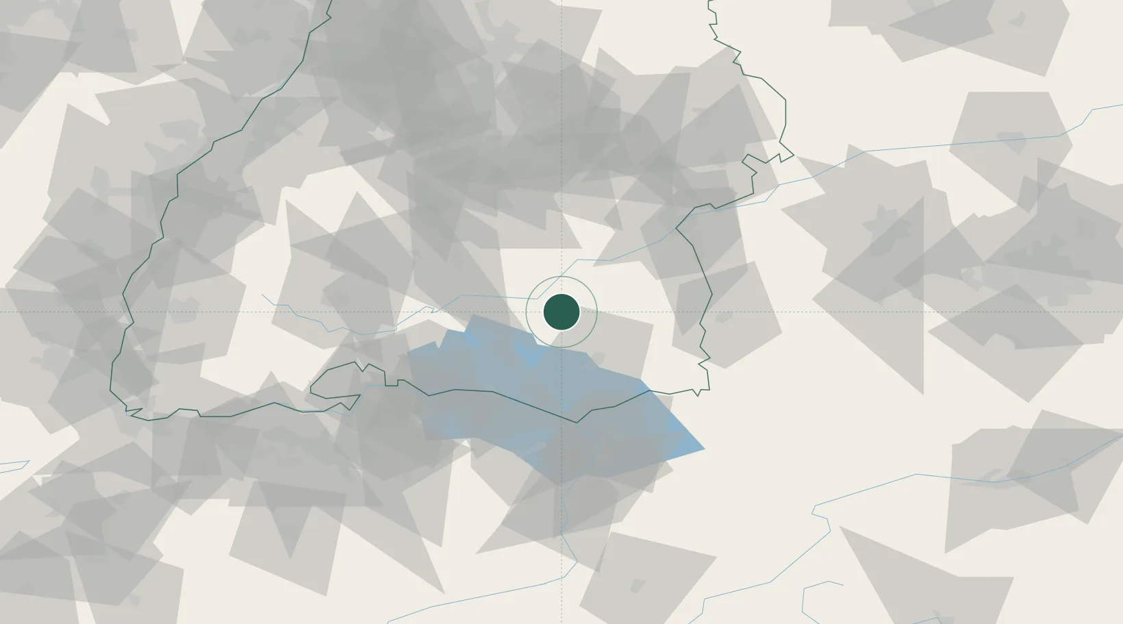
Populated place
Region
Baden-Wurttemberg
Population
17,911
Time zone
Europe/Berlin
Elevation
590 m
Location
Nearby Logistics Neighbours
Cities
- 1Herbertingen7 km
- 2Ertingen9 km
- 3Ostrach11 km
- 4Riedlingen15 km
- 5Wolpertswende16 km
Ports
- 1Porto Di Lido-Venezia366 km
- 2Nogaro376 km
- 3Porto Di Chioggia377 km
- 4Grado388 km
- 5Monfalcone396 km
Airports
Trade Zones
- 1ZFU Neuhof140 km
- 2ZFU Hautepierre147 km
- 3ZFU Mulhouse163 km
- 4Livigno Free Trade Zone172 km
- 5ZFU Belfort204 km
DatabookThe Record of Consolidated Knowledge
Germany beyond logistics?