UN/LOCODE hub · Germany
DEHEY

Heiligenberg

47.8167°, 9.3167°
2,911
Population
2
Transport functions

Transport Functions

Road
Multimodal
UN/LOCODE

Hub Profile

Place type
Local administrative seat
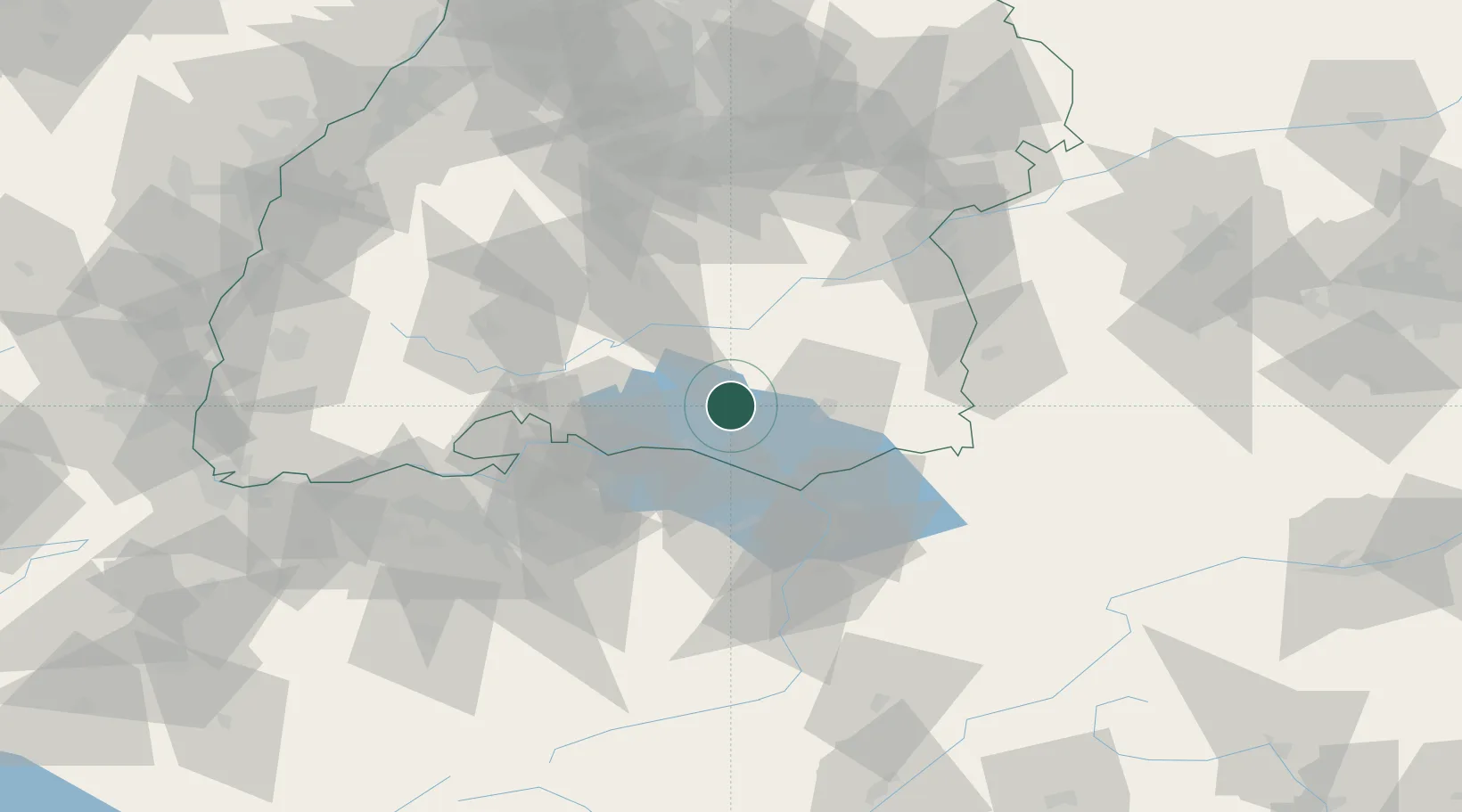
GeoNames
Region
Baden-Wurttemberg
GeoNames
Population
2,911
GeoNames
Time zone
Europe/Berlin
GeoNames
Elevation
736 m
GeoNames

Location

Location of DEHEY
Natural Earth 10m (public domain) · Baden-Wurttemberg · DEHEY · 47.82, 9.32GoogleOSMYandex

Nearby Logistics Neighbours

Cities
  1. 1Frickingen4 km
  2. 2Salem5 km
  3. 3Deggenhausertal7 km
  4. 4Denkingen9 km
  5. 5Bermatingen9 km
Nearest neighbours — logibook spatial index (haversine) over the source coordinates
Ports
  1. 1Porto Di Lido-Venezia358 km
  2. 2Porto Di Chioggia367 km
  3. 3Nogaro372 km
  4. 4Genova381 km
  5. 5Grado384 km
Nearest neighbours — logibook spatial index (haversine) over the source coordinates
Airports
  1. 1Bodensee Airport Friedrichshafen22 km
  2. 2Mengen-Hohentengen Airfield27 km
  3. 3Sankt Gallen Altenrhein Airport41 km
  4. 4Donaueschingen-Villingen Airfield62 km
  5. 5Laupheim Air Base63 km
Nearest neighbours — logibook spatial index (haversine) over the source coordinates
Trade Zones
  1. 1ZFU Neuhof141 km
  2. 2ZFU Mulhouse148 km
  3. 3ZFU Hautepierre148 km
  4. 4Livigno Free Trade Zone155 km
  5. 5ZFU Belfort189 km
Nearest neighbours — logibook spatial index (haversine) over the source coordinates
DatabookThe Record of Consolidated Knowledge
Germany beyond logistics?
Browse databook

All Sources

LocationsUN/LOCODE
UN/LOCODE — free
LocationsGeoNames
CC BY 4.0
Portsthe NGA World Port Index
Public domain (US gov)
AirportsOurAirports
Public domain
Trade Zonesthe World Bank SEZ database
CC BY 4.0
Trade ZonesOpen Zone Map
CC BY
← Germany locations