Transport Functions
Rail
Road
Hub Profile
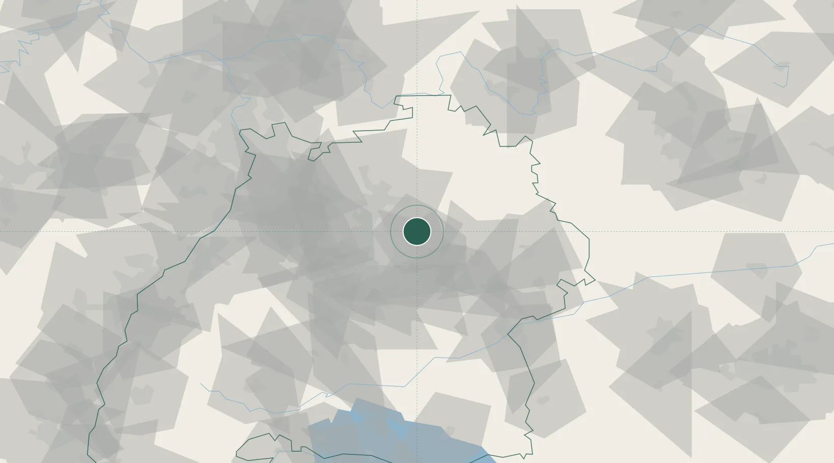
Place type
Local administrative seat
Region
Baden-Wurttemberg
Population
4,295
Time zone
Europe/Berlin
Elevation
264 m
Location
Nearby Logistics Neighbours
Cities
- 1Sulzbach an der Murr4 km
- 2Aspach4 km
- 3Spiegelberg6 km
- 4Auenwald7 km
- 5Althuette11 km
Ports
- 1Bruxelles421 km
- 2Antwerpen437 km
- 3Nogaro455 km
- 4Porto Di Lido-Venezia456 km
- 5Dordrecht464 km
Airports
- 1Adolf Würth Airport29 km
- 2Stuttgart Airport37 km
- 3Niederstetten Army Air Base59 km
- 4Mannheim-City Airport87 km
- 5Laupheim Air Base91 km
Trade Zones
- 1ZFU Neuhof133 km
- 2ZFU Hautepierre136 km
- 3ZFU La Cité Behren-lès-Forbach185 km
- 4ZFU Mulhouse208 km
- 5ZFU Metz240 km
DatabookThe Record of Consolidated Knowledge
Germany beyond logistics?