Transport Functions
Multimodal
Hub Profile
Place type
Local administrative seat
Region
Baden-Wurttemberg
Population
2,178
Time zone
Europe/Berlin
Elevation
352 m
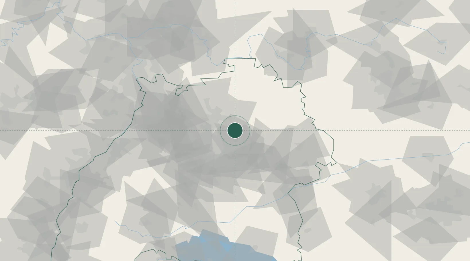
Location
Nearby Logistics Neighbours
Cities
- 1Oppenweiler6 km
- 2Sulzbach an der Murr6 km
- 3Aspach8 km
- 4Auenwald12 km
- 5Untergruppenbach13 km
Airports
- 1Adolf Würth Airport27 km
- 2Stuttgart Airport41 km
- 3Niederstetten Army Air Base55 km
- 4Mannheim-City Airport83 km
- 5Laupheim Air Base97 km
Trade Zones
- 1ZFU Neuhof134 km
- 2ZFU Hautepierre137 km
- 3ZFU La Cité Behren-lès-Forbach183 km
- 4ZFU Mulhouse211 km
- 5ZFU Metz239 km
DatabookThe Record of Consolidated Knowledge
Germany beyond logistics?