UN/LOCODE hub · Germany
DESQR
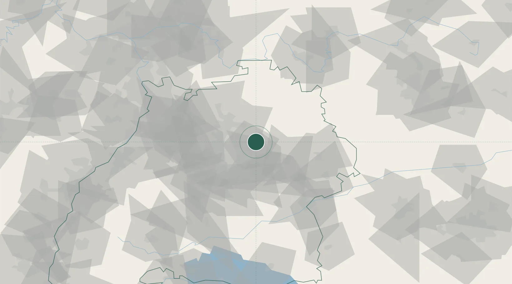
Sulzbach an der Murr
49.0000°, 9.5000°
5,469
Population
1
Transport functions
Transport Functions
Multimodal
Hub Profile
Place type
Local administrative seat
Region
Baden-Wurttemberg
Population
5,469
Time zone
Europe/Berlin
Elevation
278 m
Location
Nearby Logistics Neighbours
Cities
- 1Oppenweiler4 km
- 2Spiegelberg6 km
- 3Auenwald7 km
- 4Aspach8 km
- 5Althuette11 km
Ports
- 1Bruxelles423 km
- 2Antwerpen439 km
- 3Nogaro454 km
- 4Porto Di Lido-Venezia456 km
- 5Bremen462 km
Airports
- 1Adolf Würth Airport25 km
- 2Stuttgart Airport40 km
- 3Niederstetten Army Air Base55 km
- 4Mannheim-City Airport89 km
- 5Laupheim Air Base92 km
Trade Zones
- 1ZFU Neuhof137 km
- 2ZFU Hautepierre140 km
- 3ZFU La Cité Behren-lès-Forbach188 km
- 4ZFU Mulhouse212 km
- 5ZFU Metz244 km
DatabookThe Record of Consolidated Knowledge
Germany beyond logistics?