UN/LOCODE hub · Germany
DEAQE

Althuette

48.9167°, 9.5667°
1
Transport functions

Transport Functions

Multimodal
UN/LOCODE

Hub Profile

Region
BW
GeoNames

Location

Location of DEAQE
Natural Earth 10m (public domain) · BW · DEAQE · 48.92, 9.57GoogleOSMYandex

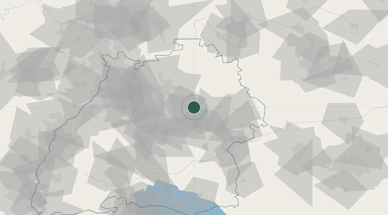
Nearby Logistics Neighbours

Cities
  1. 1Auenwald5 km
  2. 2Sulzbach an der Murr11 km
  3. 3Oppenweiler11 km
  4. 4Fichtenberg12 km
  5. 5Winnenden13 km
Nearest neighbours — logibook spatial index (haversine) over the source coordinates
Ports
  1. 1Bruxelles432 km
  2. 2Nogaro444 km
  3. 3Porto Di Lido-Venezia445 km
  4. 4Antwerpen449 km
  5. 5Grado455 km
Nearest neighbours — logibook spatial index (haversine) over the source coordinates
Airports
  1. 1Adolf Würth Airport28 km
  2. 2Stuttgart Airport36 km
  3. 3Niederstetten Army Air Base60 km
  4. 4Laupheim Air Base81 km
  5. 5Mengen-Hohentengen Airfield97 km
Nearest neighbours — logibook spatial index (haversine) over the source coordinates
Trade Zones
  1. 1ZFU Neuhof139 km
  2. 2ZFU Hautepierre142 km
  3. 3ZFU La Cité Behren-lès-Forbach194 km
  4. 4ZFU Mulhouse210 km
  5. 5ZFU Belfort248 km
Nearest neighbours — logibook spatial index (haversine) over the source coordinates
DatabookThe Record of Consolidated Knowledge
Germany beyond logistics?
Browse databook

All Sources

LocationsUN/LOCODE
UN/LOCODE — free
Portsthe NGA World Port Index
Public domain (US gov)
AirportsOurAirports
Public domain
Trade Zonesthe World Bank SEZ database
CC BY 4.0
Trade ZonesOpen Zone Map
CC BY
← Germany locations