Transport Functions
Multimodal
Hub Profile
Place type
Populated place
Region
Saxony-Anhalt
Population
1,208
Time zone
Europe/Berlin
Elevation
79 m
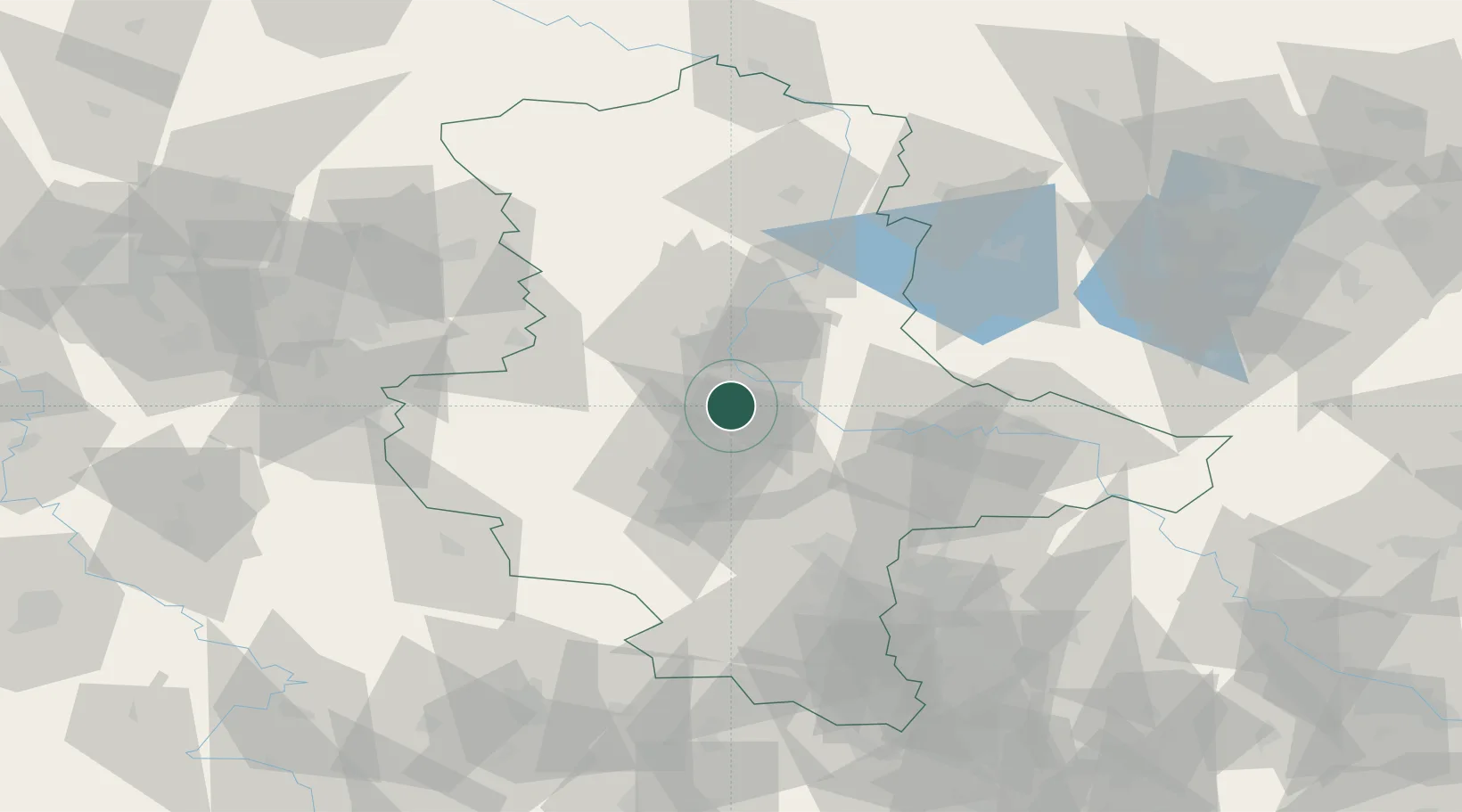
Location
Nearby Logistics Neighbours
Cities
- 1Biere2 km
- 2Foerderstedt6 km
- 3Gnadau7 km
- 4Schönebeck9 km
- 5Calbe9 km
Ports
- 1Hamburg213 km
- 2Wismar217 km
- 3Lubeck225 km
- 4Lubeck-Travemunde230 km
- 5Bremen236 km
Airports
- 1Zerbst Airfield34 km
- 2Leipzig/Halle Airport71 km
- 3Braunschweig-Wolfsburg Airport86 km
- 4Holzdorf Air Base105 km
- 5Erfurt-Weimar Airport119 km
Trade Zones
DatabookThe Record of Consolidated Knowledge
Germany beyond logistics?