Transport Functions
Multimodal
Hub Profile
Place type
Local administrative seat
Region
Saxony
Population
5,221
Time zone
Europe/Berlin
Elevation
303 m
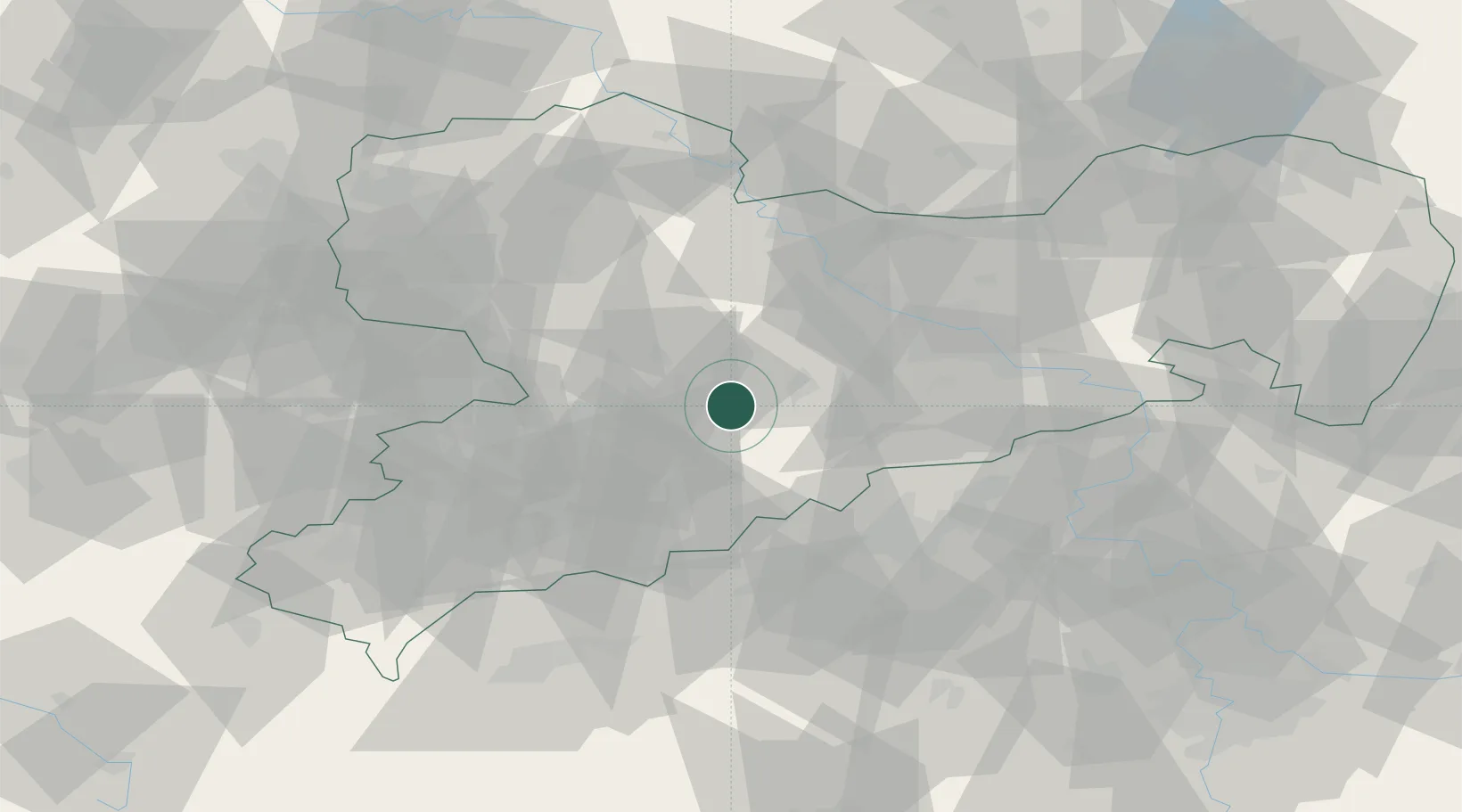
Location
Nearby Logistics Neighbours
Cities
- 1Hohenfichte6 km
- 2Floha7 km
- 3Föha7 km
- 4Leubsdorf7 km
- 5Oberschöna8 km
Ports
- 1Szczecin299 km
- 2Police315 km
- 3Swinoujscie347 km
- 4Wolgast356 km
- 5Wismar357 km
Airports
- 1Leipzig–Altenburg Airport48 km
- 2Dresden Airport52 km
- 3Karlovy Vary Airport76 km
- 4Leipzig/Halle Airport90 km
- 5Holzdorf Air Base100 km
Trade Zones
DatabookThe Record of Consolidated Knowledge
Germany beyond logistics?