Transport Functions
Multimodal
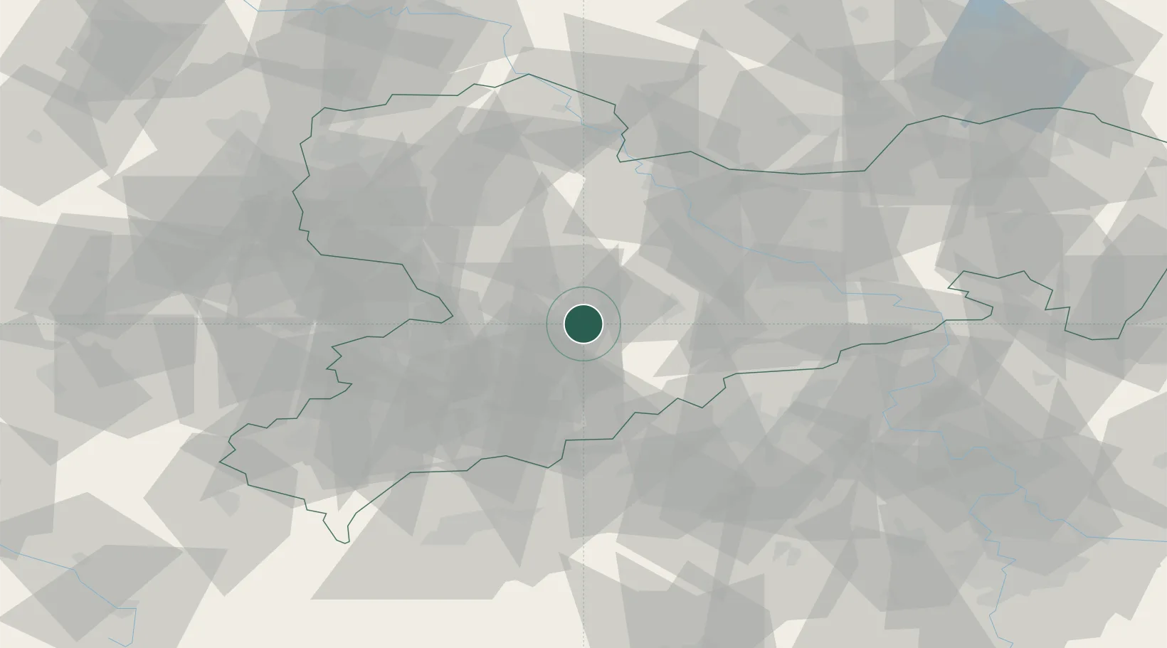
Hub Profile
Region
SN
Location
Nearby Logistics Neighbours
Cities
- 1Föha2 km
- 2Braunsdorf5 km
- 3Niederwiesa7 km
- 4Hohenfichte7 km
- 5Leubsdorf10 km
Ports
- 1Szczecin301 km
- 2Police317 km
- 3Swinoujscie349 km
- 4Wismar354 km
- 5Wolgast357 km
Airports
- 1Leipzig–Altenburg Airport41 km
- 2Dresden Airport57 km
- 3Karlovy Vary Airport75 km
- 4Leipzig/Halle Airport85 km
- 5Holzdorf Air Base100 km
Trade Zones
DatabookThe Record of Consolidated Knowledge
Germany beyond logistics?