Transport Functions
Multimodal
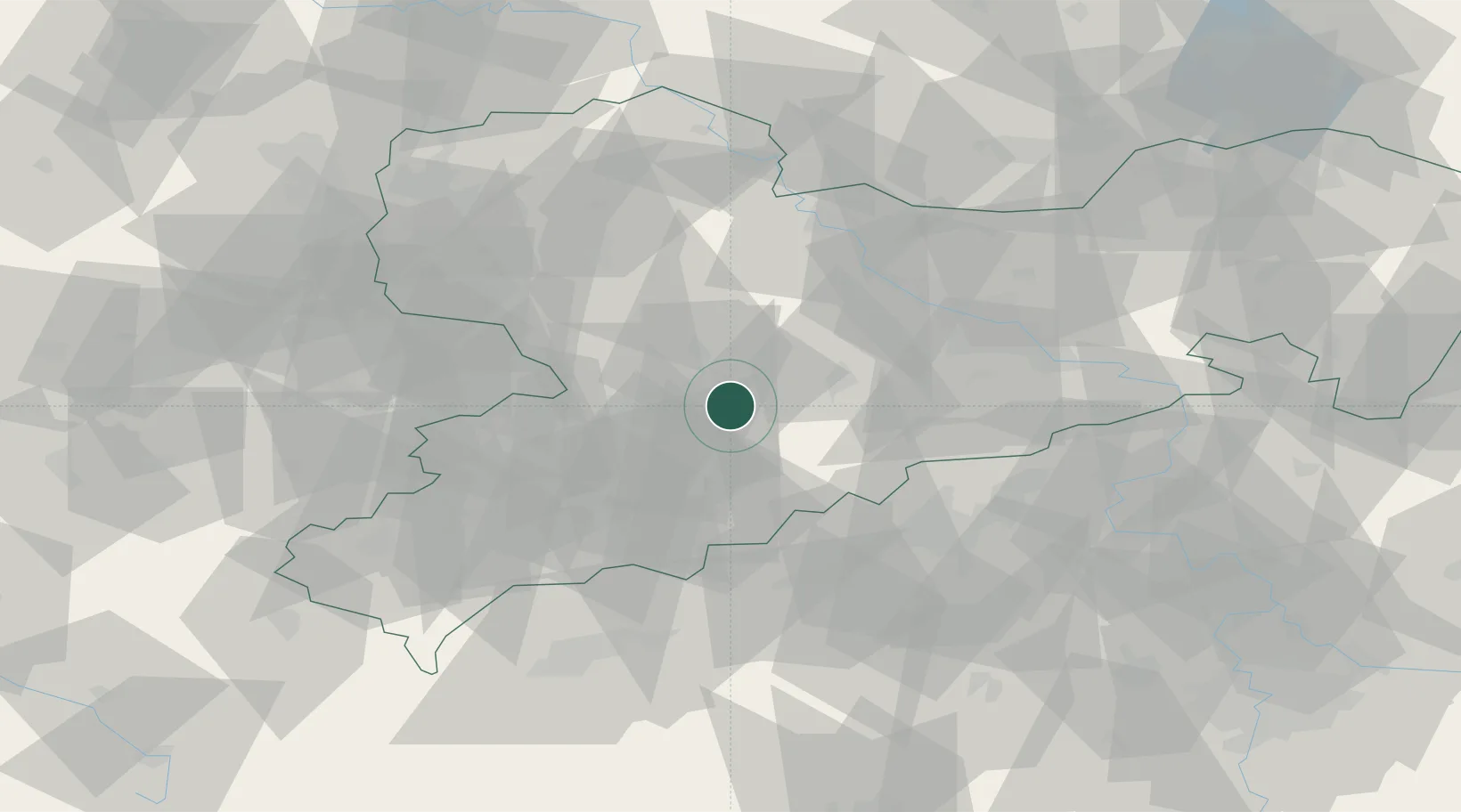
Hub Profile
Region
SN
Location
Nearby Logistics Neighbours
Cities
- 1Floha2 km
- 2Braunsdorf6 km
- 3Hohenfichte6 km
- 4Niederwiesa7 km
- 5Leubsdorf9 km
Ports
- 1Szczecin303 km
- 2Police319 km
- 3Swinoujscie351 km
- 4Wismar356 km
- 5Wolgast359 km
Airports
- 1Leipzig–Altenburg Airport42 km
- 2Dresden Airport58 km
- 3Karlovy Vary Airport73 km
- 4Leipzig/Halle Airport86 km
- 5Holzdorf Air Base102 km
Trade Zones
DatabookThe Record of Consolidated Knowledge
Germany beyond logistics?