Transport Functions
Rail
Road
Hub Profile
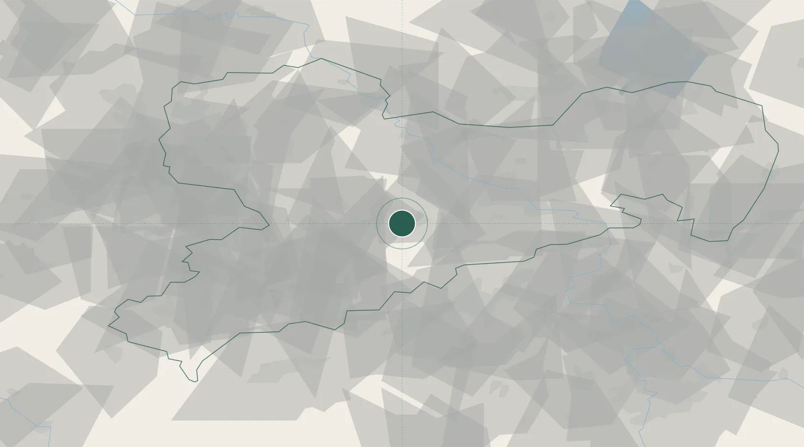
Region
SN
Location
Nearby Logistics Neighbours
Cities
- 1Grossschirma8 km
- 2Niederwiesa8 km
- 3Halsbrücke8 km
- 4Grossvoigtsberg9 km
- 5Weissenborn/Erzgeb11 km
Ports
- 1Szczecin293 km
- 2Police309 km
- 3Swinoujscie342 km
- 4Wolgast352 km
- 5Wismar355 km
Airports
- 1Dresden Airport44 km
- 2Leipzig–Altenburg Airport54 km
- 3Karlovy Vary Airport81 km
- 4Leipzig/Halle Airport93 km
- 5Holzdorf Air Base97 km
Trade Zones
DatabookThe Record of Consolidated Knowledge
Germany beyond logistics?