Transport Functions
Rail
Road
Hub Profile
Region
RP
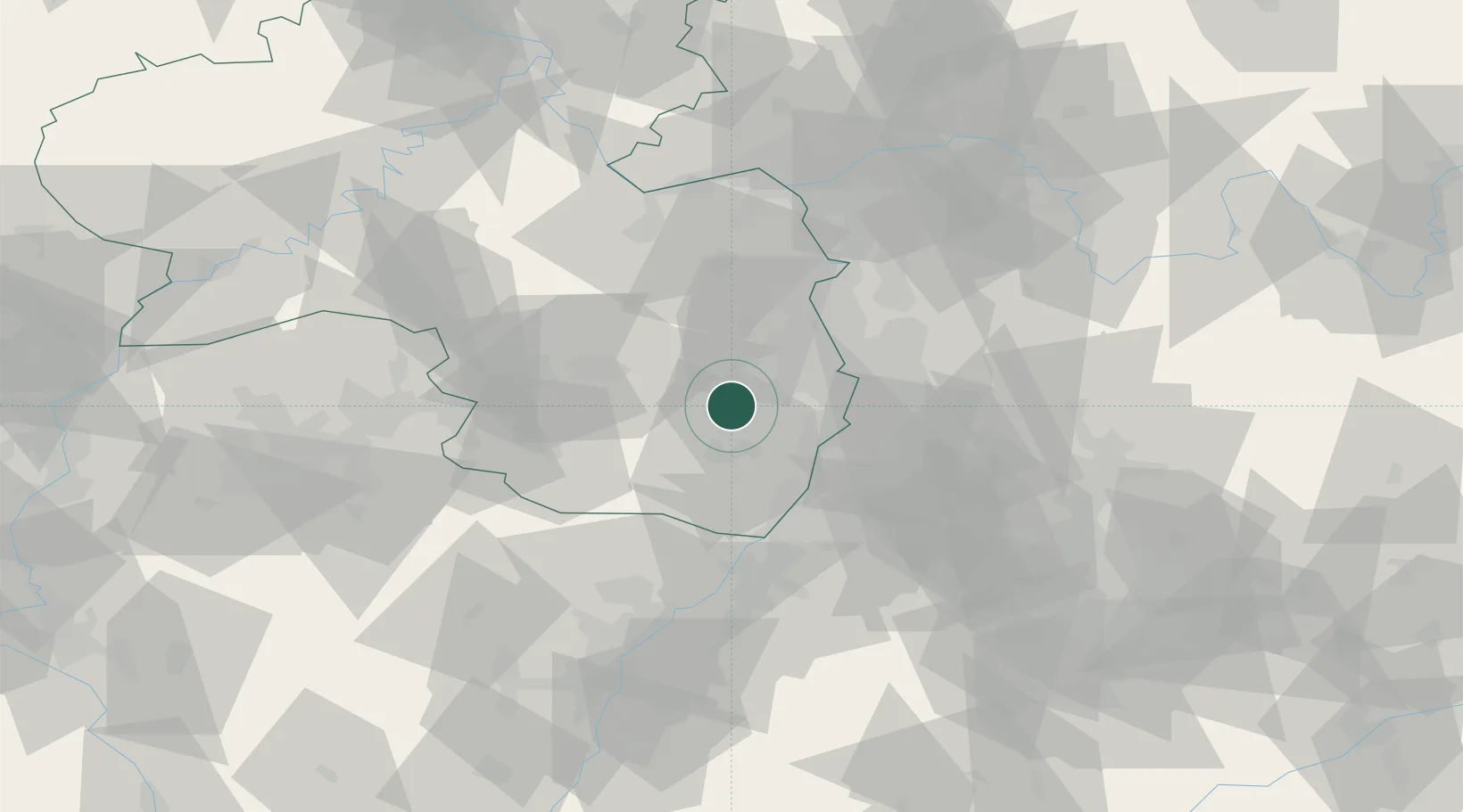
Location
Nearby Logistics Neighbours
Cities
- 1Gimmeldingen2 km
- 2Lachen bei Speyerdorf6 km
- 3Deidesheim8 km
- 4Erfenstein9 km
- 5Hassloch9 km
Airports
- 1Mannheim-City Airport31 km
- 2Ramstein Air Base40 km
- 3Karlsruhe Baden-Baden Airport64 km
- 4Mainz-Finthen Airfield69 km
- 5Saarbrücken Airport76 km
Trade Zones
- 1ZFU La Cité Behren-lès-Forbach90 km
- 2ZFU Hautepierre90 km
- 3ZFU Neuhof94 km
- 4Luxembourg Free Port142 km
- 5ZFU Woippy-Metz146 km
DatabookThe Record of Consolidated Knowledge
Germany beyond logistics?