Transport Functions
Port
Multimodal
Hub Profile
Place type
Populated place
Region
Rheinland-Pfalz
Time zone
Europe/Berlin
Elevation
184 m
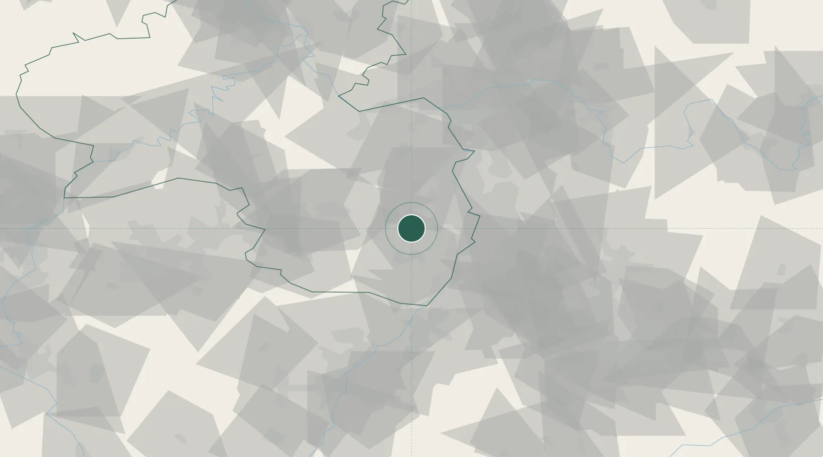
Location
Nearby Logistics Neighbours
Cities
- 1Neustadt/Weinstrasse2 km
- 2Deidesheim6 km
- 3Lachen bei Speyerdorf7 km
- 4Hassloch7 km
- 5Friedelsheim9 km
Airports
- 1Mannheim-City Airport29 km
- 2Ramstein Air Base41 km
- 3Karlsruhe Baden-Baden Airport66 km
- 4Mainz-Finthen Airfield67 km
- 5Frankfurt-Egelsbach Airport75 km
Trade Zones
- 1ZFU La Cité Behren-lès-Forbach91 km
- 2ZFU Hautepierre92 km
- 3ZFU Neuhof96 km
- 4Luxembourg Free Port143 km
- 5ZFU Woippy-Metz147 km
DatabookThe Record of Consolidated Knowledge
Germany beyond logistics?