Transport Functions
Multimodal
Hub Profile
Place type
Populated place
Region
Rheinland-Pfalz
Time zone
Europe/Berlin
Elevation
199 m
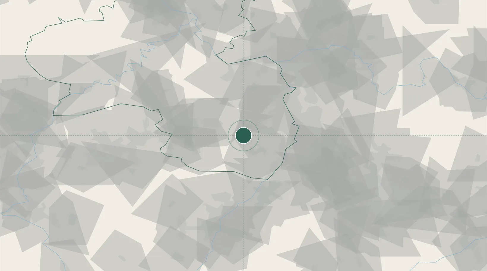
Location
Nearby Logistics Neighbours
Cities
- 1Elmstein6 km
- 2Neustadt/Weinstrasse9 km
- 3Gimmeldingen10 km
- 4Edesheim13 km
- 5Lachen bei Speyerdorf14 km
Airports
- 1Ramstein Air Base32 km
- 2Mannheim-City Airport39 km
- 3Karlsruhe Baden-Baden Airport64 km
- 4Saarbrücken Airport68 km
- 5Mainz-Finthen Airfield69 km
Trade Zones
- 1ZFU La Cité Behren-lès-Forbach82 km
- 2ZFU Hautepierre87 km
- 3ZFU Neuhof92 km
- 4Luxembourg Free Port134 km
- 5ZFU Woippy-Metz137 km
DatabookThe Record of Consolidated Knowledge
Germany beyond logistics?