Transport Functions
Rail
Road
Hub Profile
Place type
Local administrative seat
Region
Rheinland-Pfalz
Population
20,779
Time zone
Europe/Berlin
Elevation
113 m
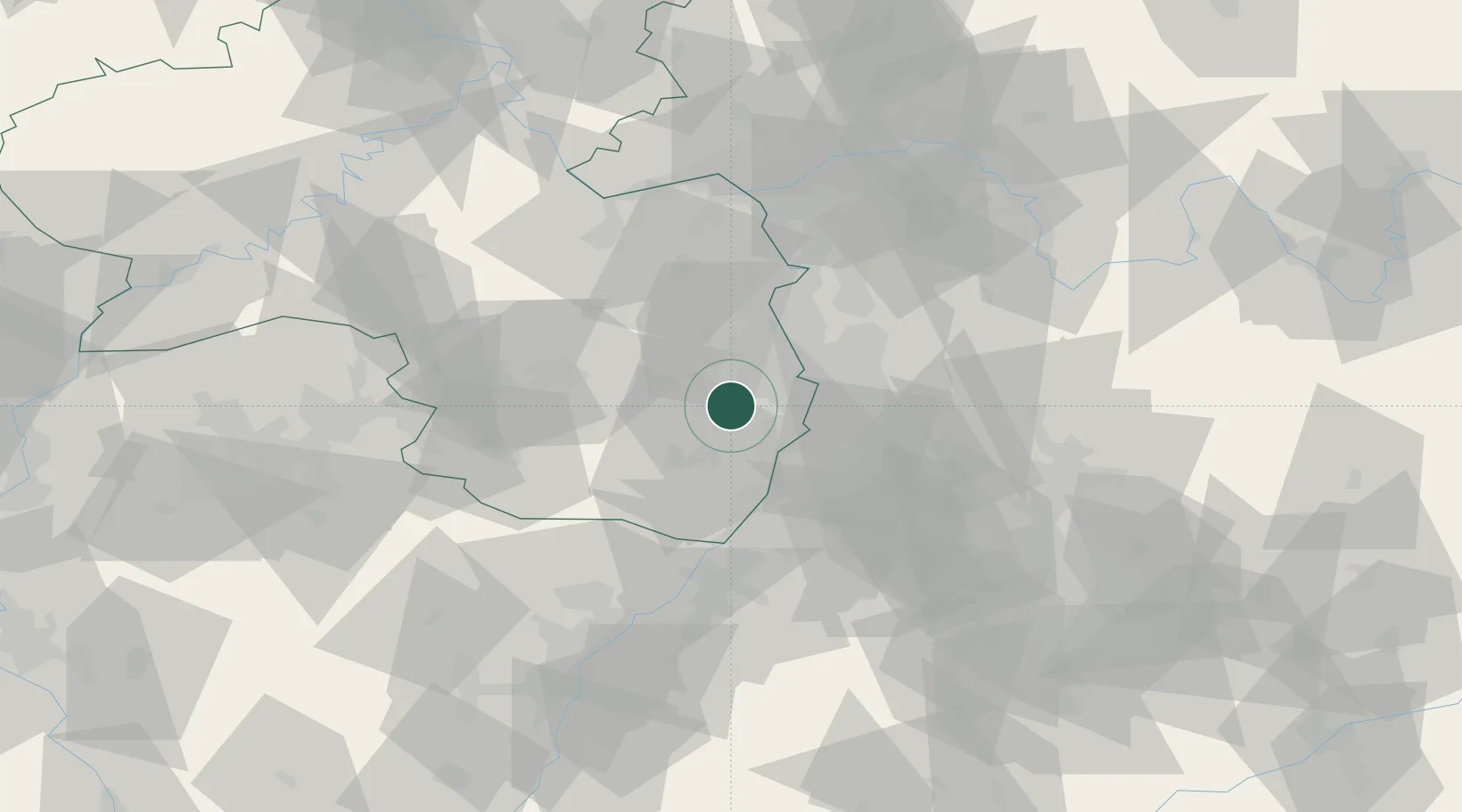
Location
Nearby Logistics Neighbours
Cities
- 1Lachen bei Speyerdorf7 km
- 2Gimmeldingen7 km
- 3Deidesheim7 km
- 4Rödersheim7 km
- 5Friedelsheim8 km
Airports
- 1Mannheim-City Airport23 km
- 2Ramstein Air Base48 km
- 3Karlsruhe Baden-Baden Airport67 km
- 4Mainz-Finthen Airfield67 km
- 5Frankfurt-Egelsbach Airport72 km
Trade Zones
- 1ZFU Hautepierre95 km
- 2ZFU La Cité Behren-lès-Forbach99 km
- 3ZFU Neuhof99 km
- 4Luxembourg Free Port150 km
- 5ZFU Woippy-Metz154 km
DatabookThe Record of Consolidated Knowledge
Germany beyond logistics?