Transport Functions
Rail
Road
Hub Profile
Place type
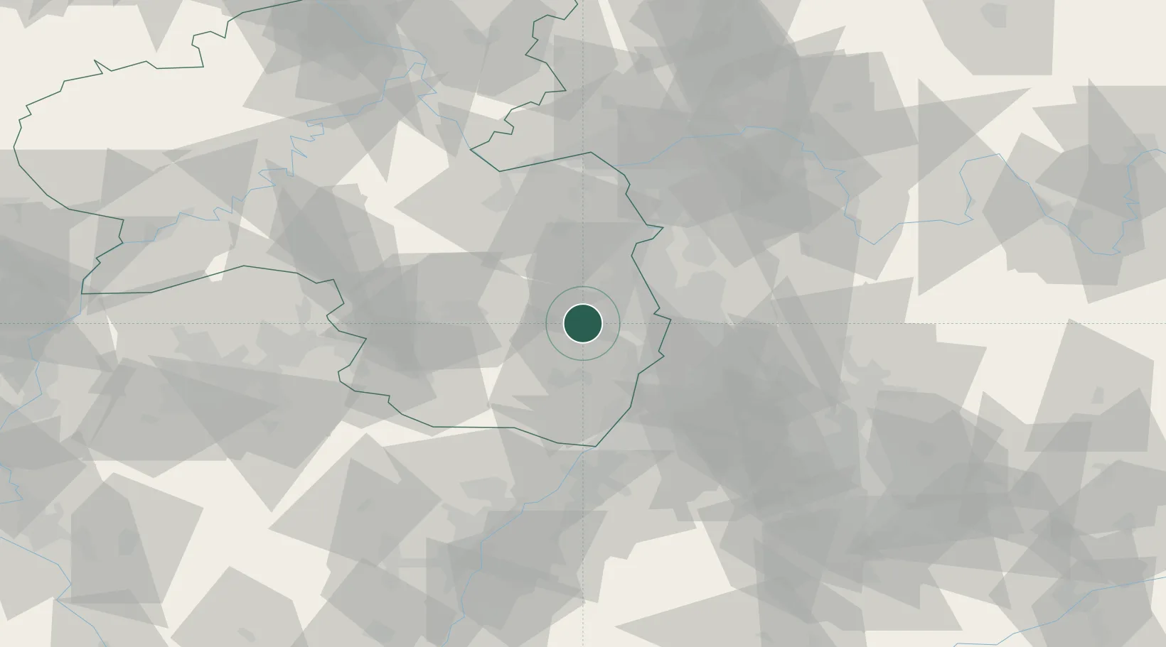
Populated place
Region
Rheinland-Pfalz
Population
3,779
Time zone
Europe/Berlin
Elevation
124 m
Location
Nearby Logistics Neighbours
Cities
- 1Friedelsheim3 km
- 2Rödersheim5 km
- 3Gimmeldingen6 km
- 4Ellerstadt6 km
- 5Rodersheim-Gronau7 km
Airports
- 1Mannheim-City Airport25 km
- 2Ramstein Air Base42 km
- 3Mainz-Finthen Airfield61 km
- 4Frankfurt-Egelsbach Airport69 km
- 5Wiesbaden Army Airfield71 km
Trade Zones
- 1ZFU La Cité Behren-lès-Forbach95 km
- 2ZFU Hautepierre98 km
- 3ZFU Neuhof102 km
- 4Luxembourg Free Port144 km
- 5ZFU Woippy-Metz151 km
DatabookThe Record of Consolidated Knowledge
Germany beyond logistics?