Transport Functions
Rail
Road
Hub Profile
Region
RP
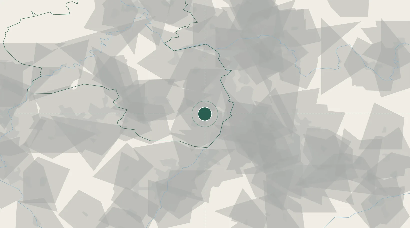
Location
Nearby Logistics Neighbours
Cities
- 1Neustadt/Weinstrasse6 km
- 2Gimmeldingen7 km
- 3Hassloch7 km
- 4Edesheim7 km
- 5Niederhochstadt8 km
Airports
- 1Mannheim-City Airport29 km
- 2Ramstein Air Base45 km
- 3Karlsruhe Baden-Baden Airport60 km
- 4Mainz-Finthen Airfield73 km
- 5Frankfurt-Egelsbach Airport78 km
Trade Zones
- 1ZFU Hautepierre88 km
- 2ZFU Neuhof92 km
- 3ZFU La Cité Behren-lès-Forbach94 km
- 4Luxembourg Free Port147 km
- 5ZFU Metz150 km
DatabookThe Record of Consolidated Knowledge
Germany beyond logistics?