Small airport · Germany

Uetersen-Heist AirfieldEDHE
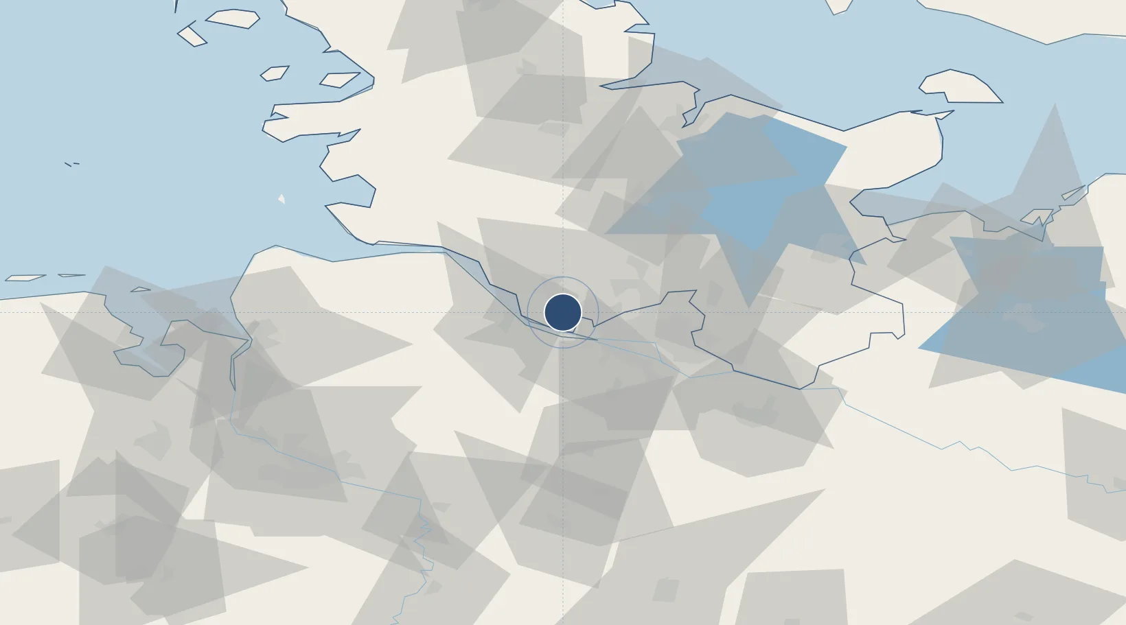
53.6455°, 9.7035°
3,609 ft
Longest runway
1
Runways
23 ft
Elevation

Runway & Layout

Uetersen-Heist Airfield runway & taxiway layout
Runway & taxiway layout — OpenStreetMap (ODbL) / OurAirports

Radio Frequencies

AFIS
125.1 MHz
Langen Information
INFO
122.705 MHz
Uetersen Radio
OurAirports

Runways · 1

RunwayDimensions SurfaceTrue headingLit
09/27 3,609 × —ft GRASS
OurAirports

Airport Specifications

ICAO code
EDHE
OurAirports
Airport class
Small airport
OurAirports
Scheduled service
Yes
OurAirports
Runway surface
GRASS
OurAirports
Served city
Heist
OurAirports

Location

Location of EDHE
Natural Earth 10m (public domain) · Schleswig-Holstein · EDHE · 53.65, 9.70GoogleOSMYandex

Nearby Logistics Neighbours

Airports
  1. 1Hamburg-Finkenwerder Airport15 km
  2. 2Hamburg Helmut Schmidt Airport19 km
  3. 3Lübeck Blankensee Airport69 km
  4. 4Sea-Airport Cuxhaven/Nordholz / Nordholz Naval Airbase70 km
  5. 5Hohn Air Base75 km
Nearest neighbours — logibook spatial index (haversine) over the source coordinates
Cities
  1. 1Holm (Pinneberg)4 km
  2. 2Prisdorf5 km
  3. 3Hetlingen6 km
  4. 4Tornesch6 km
  5. 5Kummerfeld7 km
Nearest neighbours — logibook spatial index (haversine) over the source coordinates
Ports
  1. 1Butzfleth12 km
  2. 2Hamburg19 km
  3. 3Gluckstadt24 km
  4. 4Itzehoe33 km
  5. 5Brunsbuttel Elbahafen44 km
Nearest neighbours — logibook spatial index (haversine) over the source coordinates
Trade Zones
  1. 1Freeport of Cuxhaven (Freihafen Cuxhaven)77 km
  2. 2Freeport of Kiel83 km
  3. 3Freeport of Bremerhaven (Freihafen Bremerhaven)87 km
  4. 4Freeport of Emden170 km
  5. 5Freeport of Copenhagen- Nordhavn296 km
Nearest neighbours — logibook spatial index (haversine) over the source coordinates
DatabookThe Record of Consolidated Knowledge
Germany beyond logistics?
Browse databook

All Sources

AirportsOurAirports
Public domain
Portsthe NGA World Port Index
Public domain (US gov)
LocationsUN/LOCODE
UN/LOCODE — free
Trade Zonesthe World Bank SEZ database
CC BY 4.0
Trade ZonesOpen Zone Map
CC BY
InfrastructureOpenStreetMap
ODbL 1.0
← Germany airports