UN/LOCODE hub · Germany
DEOSR

Ostermoor

53.9000°, 9.1833°
2
Transport functions

Transport Functions

Port
Road
UN/LOCODE

Hub Profile

Place type
Populated place
GeoNames
Region
Schleswig-Holstein
GeoNames
Time zone
Europe/Berlin
GeoNames
Elevation
0 m
GeoNames

Location

Location of DEOSR
Natural Earth 10m (public domain) · Schleswig-Holstein · DEOSR · 53.90, 9.18GoogleOSMYandex

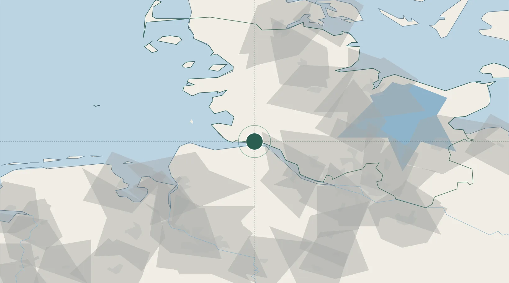
Nearby Logistics Neighbours

Cities
  1. 1Kiel Canal4 km
  2. 2Sankt Margarethen4 km
  3. 3Ecklak8 km
  4. 4Sankt Michaelisdonn10 km
  5. 5Neuhaus an der Oste15 km
Nearest neighbours — logibook spatial index (haversine) over the source coordinates
Ports
  1. 1Brunsbuttel Elbahafen2 km
  2. 2Neuhaus15 km
  3. 3Gluckstadt20 km
  4. 4Itzehoe22 km
  5. 5Cuxhaven31 km
Nearest neighbours — logibook spatial index (haversine) over the source coordinates
Airports
  1. 1Heide-Büsum Airport34 km
  2. 2Sea-Airport Cuxhaven/Nordholz / Nordholz Naval Airbase37 km
  3. 3Uetersen-Heist Airfield44 km
  4. 4Hohn Air Base51 km
  5. 5Hamburg-Finkenwerder Airport59 km
Nearest neighbours — logibook spatial index (haversine) over the source coordinates
Trade Zones
  1. 1Freeport of Cuxhaven (Freihafen Cuxhaven)41 km
  2. 2Freeport of Kiel81 km
  3. 3Freeport of Bremerhaven (Freihafen Bremerhaven)94 km
  4. 4Freeport of Emden146 km
  5. 5Freeport of Copenhagen- Nordhavn298 km
Nearest neighbours — logibook spatial index (haversine) over the source coordinates
DatabookThe Record of Consolidated Knowledge
Germany beyond logistics?
Browse databook

All Sources

LocationsUN/LOCODE
UN/LOCODE — free
Portsthe NGA World Port Index
Public domain (US gov)
AirportsOurAirports
Public domain
Trade Zonesthe World Bank SEZ database
CC BY 4.0
Trade ZonesOpen Zone Map
CC BY
← Germany locations