Transport Functions
Port
Rail
Road
Hub Profile
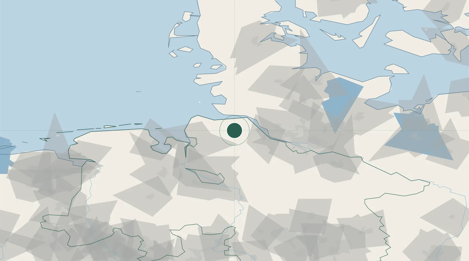
Place type
Local administrative seat
Region
Lower Saxony
Population
8,817
Time zone
Europe/Berlin
Elevation
13 m
Location
Nearby Logistics Neighbours
Cities
- 1Basbeck5 km
- 2Neuhaus an der Oste12 km
- 3Burweg14 km
- 4Himmelpforten15 km
- 5Neuland/Elbe15 km
Ports
- 1Neuhaus12 km
- 2Brunsbuttel Elbahafen21 km
- 3Gluckstadt22 km
- 4Butzfleth27 km
- 5Cuxhaven32 km
Airports
Trade Zones
DatabookThe Record of Consolidated Knowledge
Germany beyond logistics?