Medium airport · Germany

Hamburg-Finkenwerder AirportEDHI
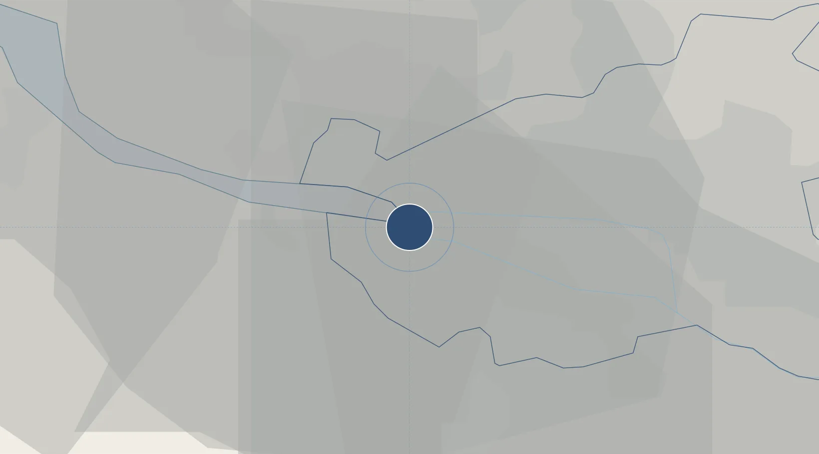
53.5353°, 9.8356°
8,629 ft
Longest runway
1
Runways
23 ft
Elevation

Runway & Layout

Hamburg-Finkenwerder Airport runway & taxiway layout
Runway & taxiway layout — OpenStreetMap (ODbL) / OurAirports

Radio Frequencies

ATIS
135.965 MHz
Finkenwerder ATIS
TWR
121.28 MHz
Hahn Tower / Turm
TWR
121.28 MHz
Hamburg Tower / Turm
TWR
123.25 MHz
FINKENWERDER TOWER / TURM
A/D
124.225 MHz
BREMEN RADAR
AFIS
125.1 MHz
Langen Information
RMP
121.655 MHz
Finkenwerder Apron / Vorfeld
OurAirports

Runways · 1

RunwayDimensions SurfaceTrue headingLit
05/23 8,629 × 148ft Asphalt / concrete 052°
OurAirports

Airport Specifications

IATA code
XFW
OurAirports
ICAO code
EDHI
OurAirports
Airport class
Medium airport
OurAirports
Scheduled service
No
OurAirports
Runway surface
Asphalt / concrete
OurAirports
Served city
Hamburg
OurAirports

Location

Location of EDHI
Natural Earth 10m (public domain) · Hamburg · EDHI · 53.54, 9.84GoogleOSMYandex

Nearby Logistics Neighbours

Airports
  1. 1Hamburg Helmut Schmidt Airport15 km
  2. 2Uetersen-Heist Airfield15 km
  3. 3Lübeck Blankensee Airport66 km
  4. 4Faßberg Air Base72 km
  5. 5Sea-Airport Cuxhaven/Nordholz / Nordholz Naval Airbase82 km
Nearest neighbours — logibook spatial index (haversine) over the source coordinates
Cities
  1. 1Finkenwerder1 km
  2. 2Altenwerder6 km
  3. 3Neu Wulmstorf8 km
  4. 4Hamburg8 km
  5. 5Schulau10 km
Nearest neighbours — logibook spatial index (haversine) over the source coordinates
Ports
  1. 1Hamburg7 km
  2. 2Butzfleth25 km
  3. 3Gluckstadt39 km
  4. 4Itzehoe47 km
  5. 5Brunsbuttel Elbahafen59 km
Nearest neighbours — logibook spatial index (haversine) over the source coordinates
Trade Zones
  1. 1Freeport of Bremerhaven (Freihafen Bremerhaven)86 km
  2. 2Freeport of Cuxhaven (Freihafen Cuxhaven)90 km
  3. 3Freeport of Kiel92 km
  4. 4Freeport of Emden177 km
  5. 5Freeport of Copenhagen- Nordhavn301 km
Nearest neighbours — logibook spatial index (haversine) over the source coordinates
DatabookThe Record of Consolidated Knowledge
Germany beyond logistics?
Browse databook

All Sources

AirportsOurAirports
Public domain
Portsthe NGA World Port Index
Public domain (US gov)
LocationsUN/LOCODE
UN/LOCODE — free
Trade Zonesthe World Bank SEZ database
CC BY 4.0
Trade ZonesOpen Zone Map
CC BY
InfrastructureOpenStreetMap
ODbL 1.0
← Germany airports