UN/LOCODE hub · Germany
DECKL

Kiel Canal

53.8833°, 9.1333°
2
Transport functions

Transport Functions

Port
Multimodal
UN/LOCODE

Hub Profile

Region
SH
GeoNames

Location

Location of DECKL
Natural Earth 10m (public domain) · SH · DECKL · 53.88, 9.13GoogleOSMYandex

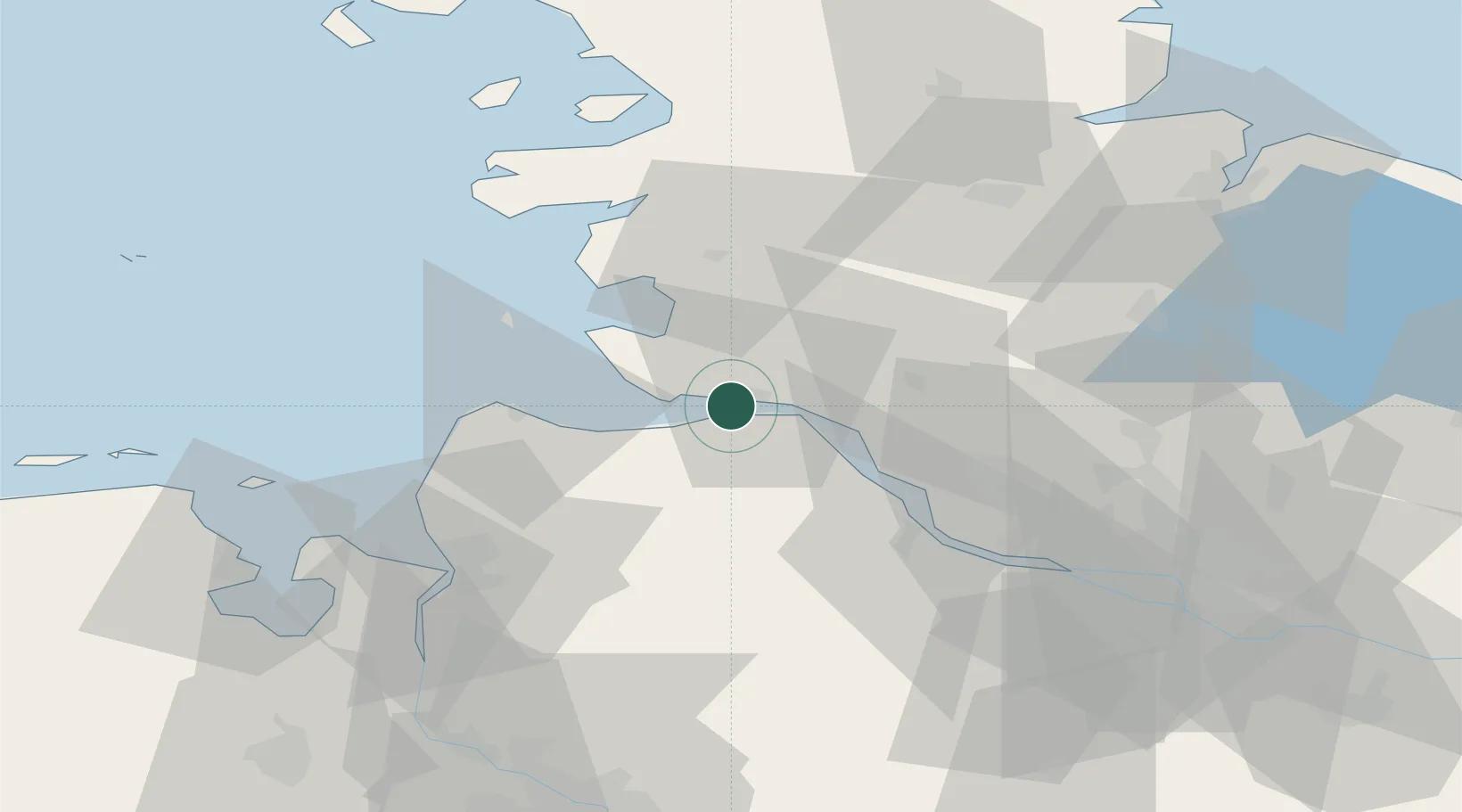
Nearby Logistics Neighbours

Cities
  1. 1Ostermoor4 km
  2. 2Sankt Margarethen8 km
  3. 3Sankt Michaelisdonn11 km
  4. 4Neuhaus an der Oste11 km
  5. 5Ecklak12 km
Nearest neighbours — logibook spatial index (haversine) over the source coordinates
Ports
  1. 1Brunsbuttel Elbahafen2 km
  2. 2Neuhaus11 km
  3. 3Gluckstadt22 km
  4. 4Itzehoe25 km
  5. 5Cuxhaven27 km
Nearest neighbours — logibook spatial index (haversine) over the source coordinates
Airports
  1. 1Heide-Büsum Airport34 km
  2. 2Sea-Airport Cuxhaven/Nordholz / Nordholz Naval Airbase34 km
  3. 3Uetersen-Heist Airfield46 km
  4. 4Hohn Air Base55 km
  5. 5Hamburg-Finkenwerder Airport60 km
Nearest neighbours — logibook spatial index (haversine) over the source coordinates
Trade Zones
  1. 1Freeport of Cuxhaven (Freihafen Cuxhaven)38 km
  2. 2Freeport of Kiel84 km
  3. 3Freeport of Bremerhaven (Freihafen Bremerhaven)91 km
  4. 4Freeport of Emden142 km
  5. 5Freeport of Copenhagen- Nordhavn301 km
Nearest neighbours — logibook spatial index (haversine) over the source coordinates
DatabookThe Record of Consolidated Knowledge
Germany beyond logistics?
Browse databook

All Sources

LocationsUN/LOCODE
UN/LOCODE — free
Portsthe NGA World Port Index
Public domain (US gov)
AirportsOurAirports
Public domain
Trade Zonesthe World Bank SEZ database
CC BY 4.0
Trade ZonesOpen Zone Map
CC BY
← Germany locations