Transport Functions
Multimodal
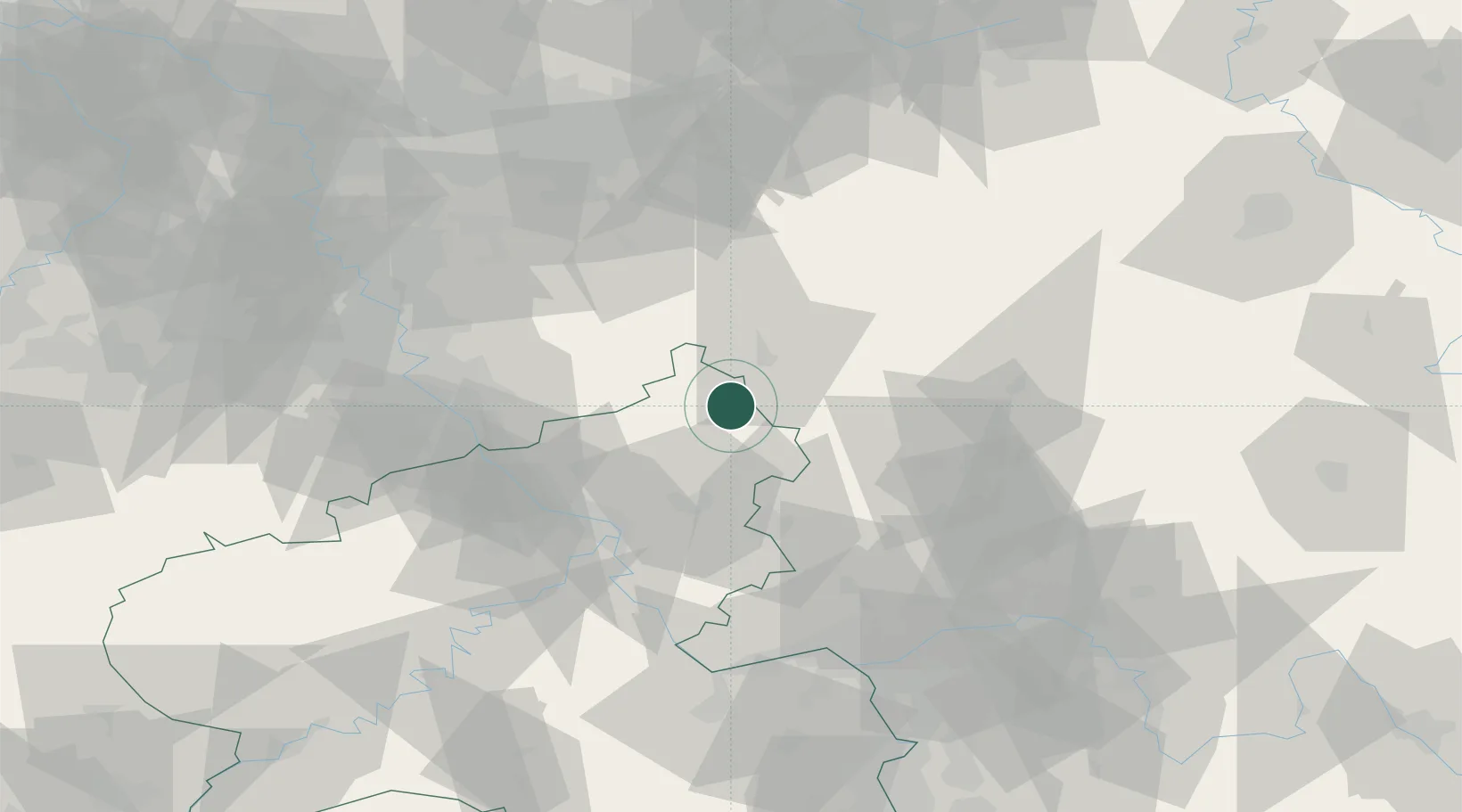
Hub Profile
Place type
Local administrative seat
Region
Rheinland-Pfalz
Population
1,003
Time zone
Europe/Berlin
Elevation
294 m
Location
Nearby Logistics Neighbours
Cities
- 1Schutzbach2 km
- 2Weitefeld4 km
- 3Elkenroth4 km
- 4Alsdorf, Altenkirchen5 km
- 5Derschen5 km
Airports
- 1Siegerland Airport12 km
- 2Cologne Bonn Airport57 km
- 3Wiesbaden Army Airfield83 km
- 4Dortmund Airport88 km
- 5Mainz-Finthen Airfield88 km
Trade Zones
- 1Rheinische Revier SWZ111 km
- 2Freeport of Duisburg122 km
- 3Luxembourg Free Port174 km
- 4ZFU La Cité Behren-lès-Forbach190 km
- 5ZFU Woippy-Metz219 km
DatabookThe Record of Consolidated Knowledge
Germany beyond logistics?