Transport Functions
Rail
Road
Hub Profile
Region
RP
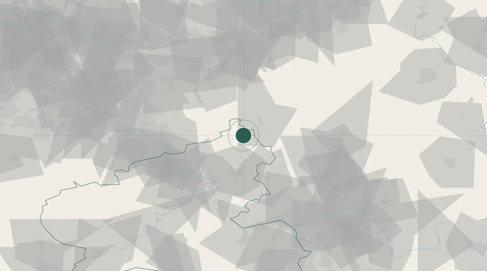
Location
Nearby Logistics Neighbours
Cities
- 1Kirchen an der Sieg2 km
- 2Schutzbach4 km
- 3Niederdreisbach5 km
- 4Elkenroth6 km
- 5Gebhardshain6 km
Airports
- 1Siegerland Airport16 km
- 2Cologne Bonn Airport53 km
- 3Dortmund Airport84 km
- 4Nörvenich Air Base86 km
- 5Wiesbaden Army Airfield87 km
Trade Zones
- 1Rheinische Revier SWZ106 km
- 2Freeport of Duisburg117 km
- 3Luxembourg Free Port174 km
- 4ZFU La Cité Behren-lès-Forbach192 km
- 5ZFU Woippy-Metz220 km
DatabookThe Record of Consolidated Knowledge
Germany beyond logistics?