UN/LOCODE hub · Germany
DERPD

Derschen

50.7167°, 7.9833°
1,086
Population
1
Transport functions

Transport Functions

Port
UN/LOCODE

Hub Profile

Place type
Local administrative seat
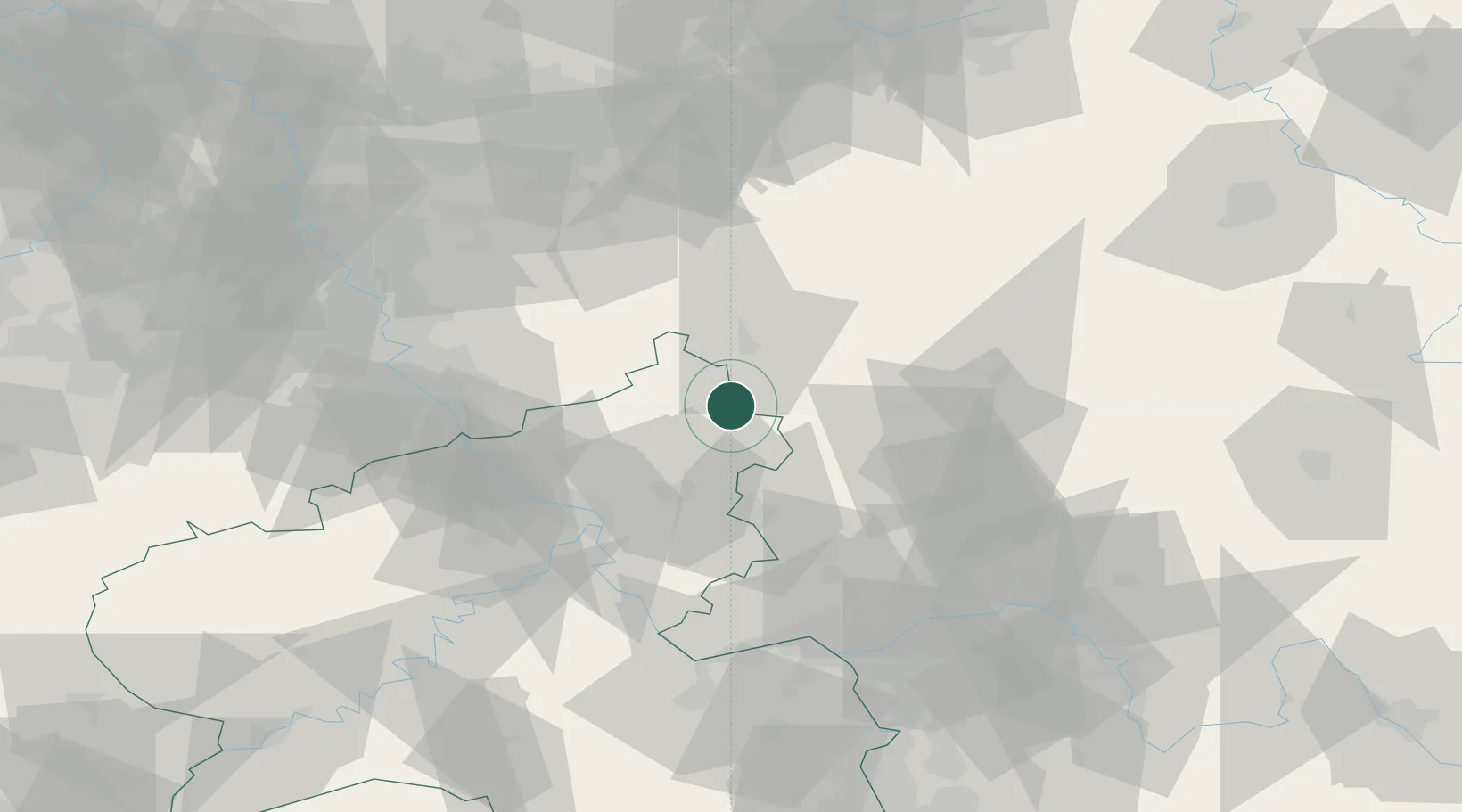
GeoNames
Region
Rheinland-Pfalz
GeoNames
Population
1,086
GeoNames
Time zone
Europe/Berlin
GeoNames
Elevation
432 m
GeoNames

Location

Location of DERPD
Natural Earth 10m (public domain) · Rheinland-Pfalz · DERPD · 50.72, 7.98GoogleOSMYandex

Nearby Logistics Neighbours

Cities
  1. 1Weitefeld5 km
  2. 2Niederdreisbach5 km
  3. 3Hof6 km
  4. 4Schutzbach7 km
  5. 5Elkenroth7 km
Nearest neighbours — logibook spatial index (haversine) over the source coordinates
Ports
  1. 1Bruxelles256 km
  2. 2Antwerpen257 km
  3. 3Dordrecht262 km
  4. 4Oldenburg267 km
  5. 5Papenburg268 km
Nearest neighbours — logibook spatial index (haversine) over the source coordinates
Airports
  1. 1Siegerland Airport7 km
  2. 2Cologne Bonn Airport61 km
  3. 3Wiesbaden Army Airfield78 km
  4. 4Mainz-Finthen Airfield84 km
  5. 5Frankfurt Main Airport87 km
Nearest neighbours — logibook spatial index (haversine) over the source coordinates
Trade Zones
  1. 1Rheinische Revier SWZ115 km
  2. 2Freeport of Duisburg127 km
  3. 3Luxembourg Free Port173 km
  4. 4ZFU La Cité Behren-lès-Forbach188 km
  5. 5ZFU Woippy-Metz218 km
Nearest neighbours — logibook spatial index (haversine) over the source coordinates
DatabookThe Record of Consolidated Knowledge
Germany beyond logistics?
Browse databook

All Sources

LocationsUN/LOCODE
UN/LOCODE — free
LocationsGeoNames
CC BY 4.0
Portsthe NGA World Port Index
Public domain (US gov)
AirportsOurAirports
Public domain
Trade Zonesthe World Bank SEZ database
CC BY 4.0
Trade ZonesOpen Zone Map
CC BY
← Germany locations