Transport Functions
Rail
Road
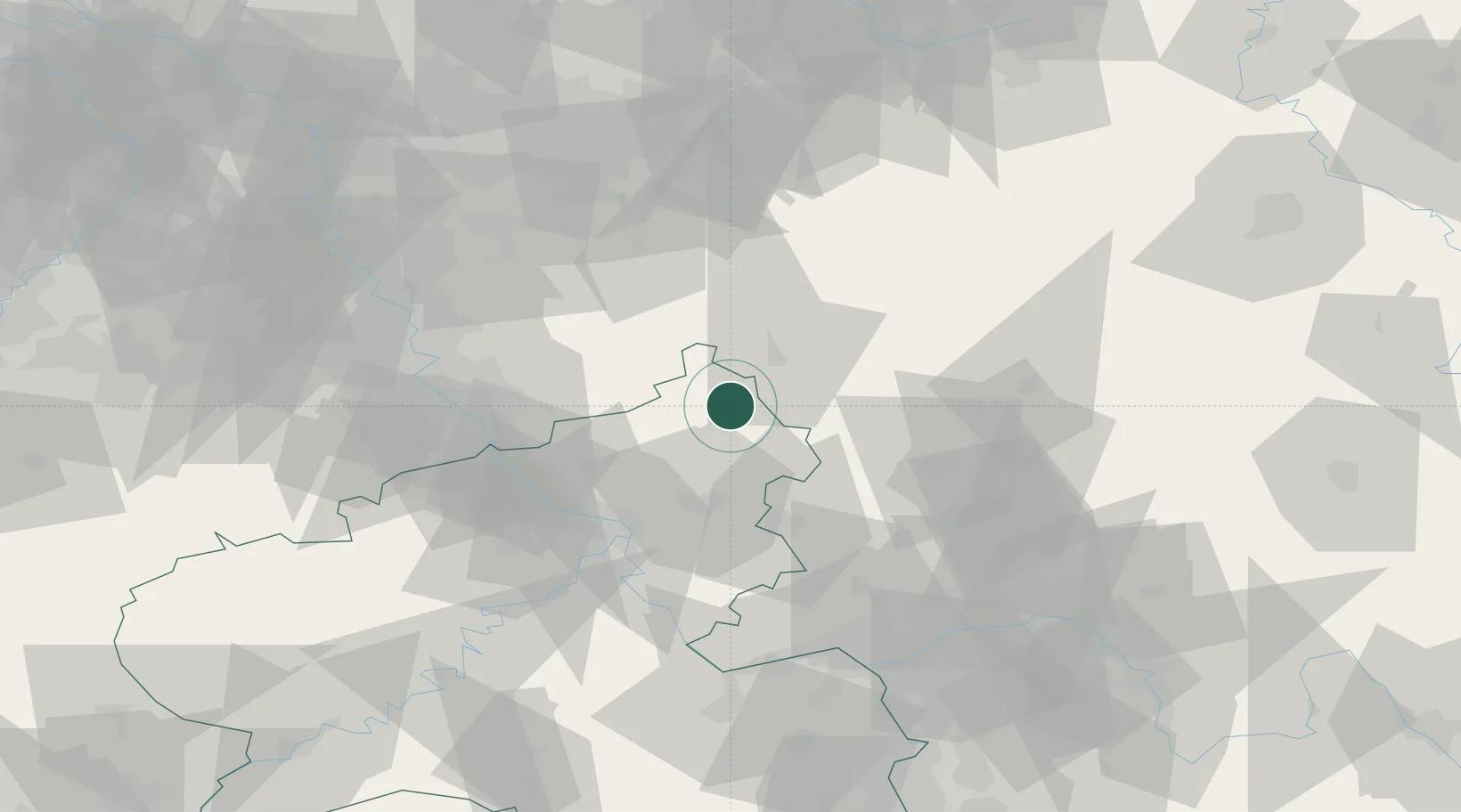
Hub Profile
Place type
Local administrative seat
Region
Rheinland-Pfalz
Population
453
Time zone
Europe/Berlin
Elevation
355 m
Location
Nearby Logistics Neighbours
Cities
- 1Elkenroth2 km
- 2Niederdreisbach2 km
- 3Alsdorf, Altenkirchen4 km
- 4Weitefeld4 km
- 5Kirchen an der Sieg6 km
Airports
- 1Siegerland Airport14 km
- 2Cologne Bonn Airport55 km
- 3Wiesbaden Army Airfield84 km
- 4Büchel Air Base87 km
- 5Nörvenich Air Base88 km
Trade Zones
- 1Rheinische Revier SWZ108 km
- 2Freeport of Duisburg120 km
- 3Luxembourg Free Port172 km
- 4ZFU La Cité Behren-lès-Forbach189 km
- 5ZFU Woippy-Metz218 km
DatabookThe Record of Consolidated Knowledge
Germany beyond logistics?