Transport Functions
Rail
Road
Hub Profile
Place type
Local administrative seat
Region
Rheinland-Pfalz
Population
2,451
Time zone
Europe/Berlin
Elevation
457 m
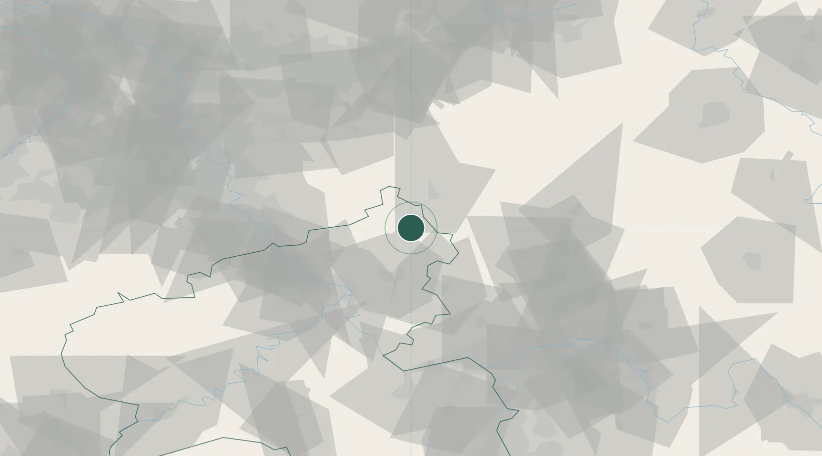
Location
Nearby Logistics Neighbours
Cities
- 1Elkenroth3 km
- 2Niederdreisbach4 km
- 3Schutzbach4 km
- 4Derschen5 km
- 5Norken6 km
Airports
- 1Siegerland Airport12 km
- 2Cologne Bonn Airport57 km
- 3Wiesbaden Army Airfield80 km
- 4Mainz-Finthen Airfield85 km
- 5Büchel Air Base85 km
Trade Zones
- 1Rheinische Revier SWZ110 km
- 2Freeport of Duisburg123 km
- 3Luxembourg Free Port170 km
- 4ZFU La Cité Behren-lès-Forbach186 km
- 5ZFU Woippy-Metz215 km
DatabookThe Record of Consolidated Knowledge
Germany beyond logistics?