UN/LOCODE hub · Germany
DEMNC
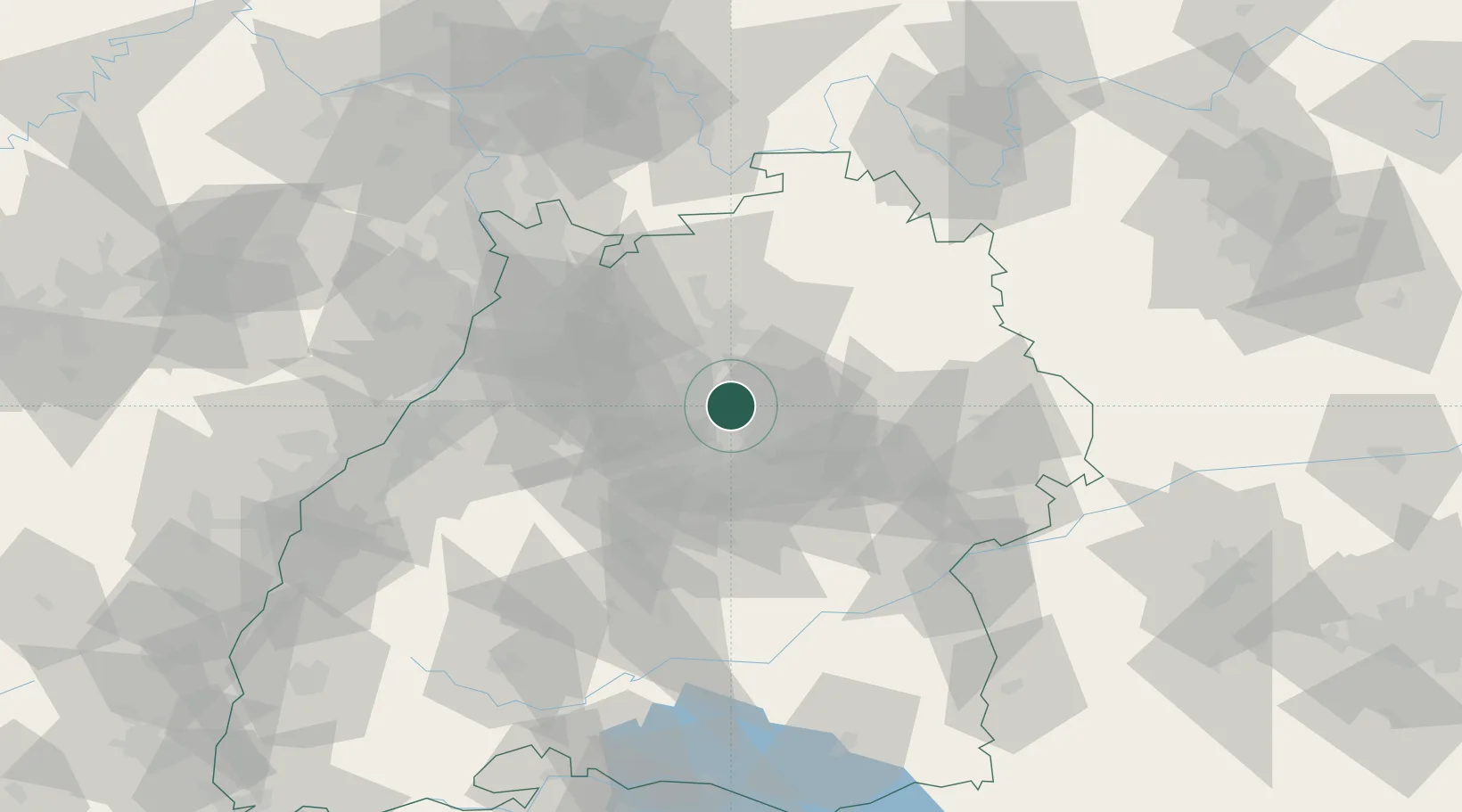
Marbach am Neckar
48.9333°, 9.2500°
15,604
Population
2
Transport functions
Transport Functions
Rail
Road
Hub Profile
Place type
Populated place
Region
Baden-Wurttemberg
Population
15,604
Time zone
Europe/Berlin
Elevation
242 m
Location
Nearby Logistics Neighbours
Cities
- 1Freiberg am Neckar4 km
- 2Beihingen4 km
- 3Möglingen10 km
- 4Kornwestheim11 km
- 5Aspach12 km
Ports
- 1Bruxelles411 km
- 2Antwerpen429 km
- 3Dordrecht457 km
- 4Porto Di Lido-Venezia459 km
- 5Nogaro460 km
Airports
- 1Stuttgart Airport27 km
- 2Adolf Würth Airport44 km
- 3Niederstetten Army Air Base72 km
- 4Mannheim-City Airport80 km
- 5Karlsruhe Baden-Baden Airport87 km
Trade Zones
- 1ZFU Neuhof117 km
- 2ZFU Hautepierre120 km
- 3ZFU La Cité Behren-lès-Forbach171 km
- 4ZFU Mulhouse193 km
- 5ZFU Metz226 km
DatabookThe Record of Consolidated Knowledge
Germany beyond logistics?