Transport Functions
Multimodal
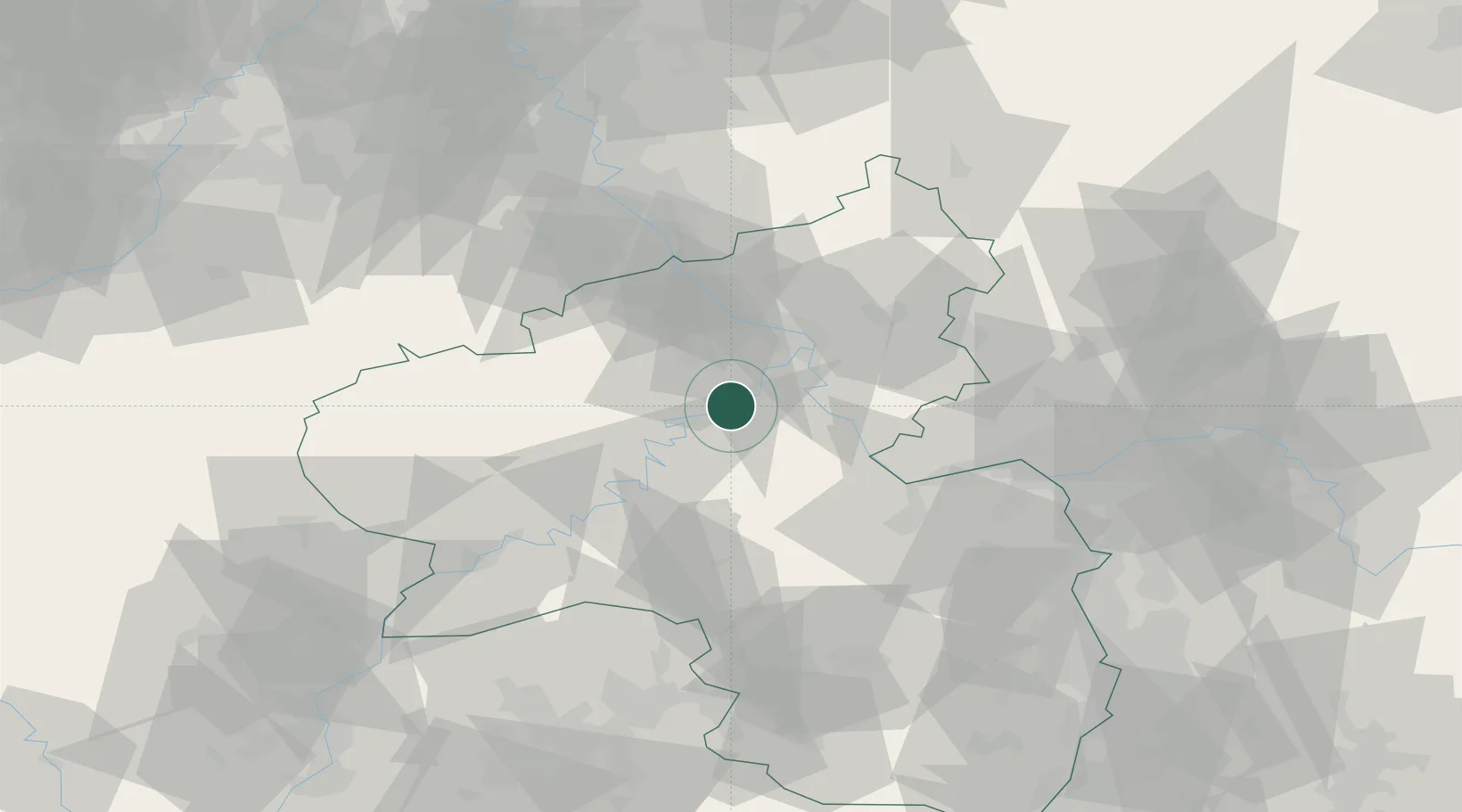
Hub Profile
Place type
Local administrative seat
Region
Rheinland-Pfalz
Population
705
Time zone
Europe/Berlin
Elevation
87 m
Location
Nearby Logistics Neighbours
Cities
- 1Treis-Karden5 km
- 2Brodenbach6 km
- 3Forst (Eifel)9 km
- 4Lahr9 km
- 5Polch12 km
Airports
- 1Büchel Air Base22 km
- 2Frankfurt-Hahn Airport29 km
- 3Spangdahlem Air Base54 km
- 4Mainz-Finthen Airfield61 km
- 5Wiesbaden Army Airfield70 km
Trade Zones
- 1Luxembourg Free Port103 km
- 2Rheinische Revier SWZ105 km
- 3ZFU La Cité Behren-lès-Forbach119 km
- 4ZFU Woippy-Metz146 km
- 5Freeport of Duisburg149 km
DatabookThe Record of Consolidated Knowledge
Germany beyond logistics?