Transport Functions
Rail
Road
Hub Profile
Place type
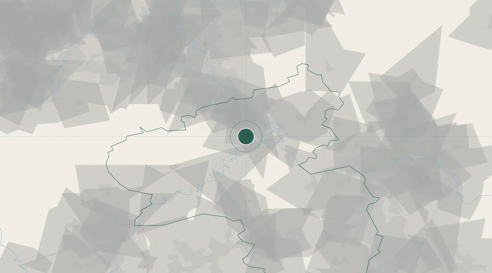
Populated place
Region
Rheinland-Pfalz
Population
6,590
Time zone
Europe/Berlin
Elevation
214 m
Location
Nearby Logistics Neighbours
Cities
- 1Mendig8 km
- 2Ettringen9 km
- 3Forst (Eifel)10 km
- 4Kretz12 km
- 5Moselkern12 km
Airports
- 1Büchel Air Base23 km
- 2Frankfurt-Hahn Airport40 km
- 3Spangdahlem Air Base57 km
- 4Cologne Bonn Airport64 km
- 5Mainz-Finthen Airfield70 km
Trade Zones
- 1Rheinische Revier SWZ95 km
- 2Luxembourg Free Port107 km
- 3ZFU La Cité Behren-lès-Forbach129 km
- 4Freeport of Duisburg137 km
- 5ZFU Woippy-Metz153 km
DatabookThe Record of Consolidated Knowledge
Germany beyond logistics?