Transport Functions
Multimodal
Hub Profile
Region
RP
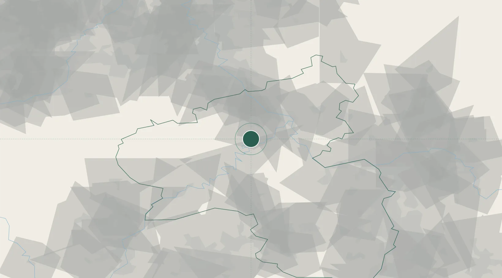
Location
Nearby Logistics Neighbours
Cities
- 1Treis-Karden5 km
- 2Kaisersesch7 km
- 3Moselkern9 km
- 4Masburg10 km
- 5Polch10 km
Airports
- 1Büchel Air Base14 km
- 2Frankfurt-Hahn Airport30 km
- 3Spangdahlem Air Base48 km
- 4Mainz-Finthen Airfield70 km
- 5Cologne Bonn Airport73 km
Trade Zones
- 1Luxembourg Free Port98 km
- 2Rheinische Revier SWZ99 km
- 3ZFU La Cité Behren-lès-Forbach119 km
- 4ZFU Woippy-Metz143 km
- 5Freeport of Duisburg144 km
DatabookThe Record of Consolidated Knowledge
Germany beyond logistics?