Transport Functions
Port
Rail
Road
Hub Profile
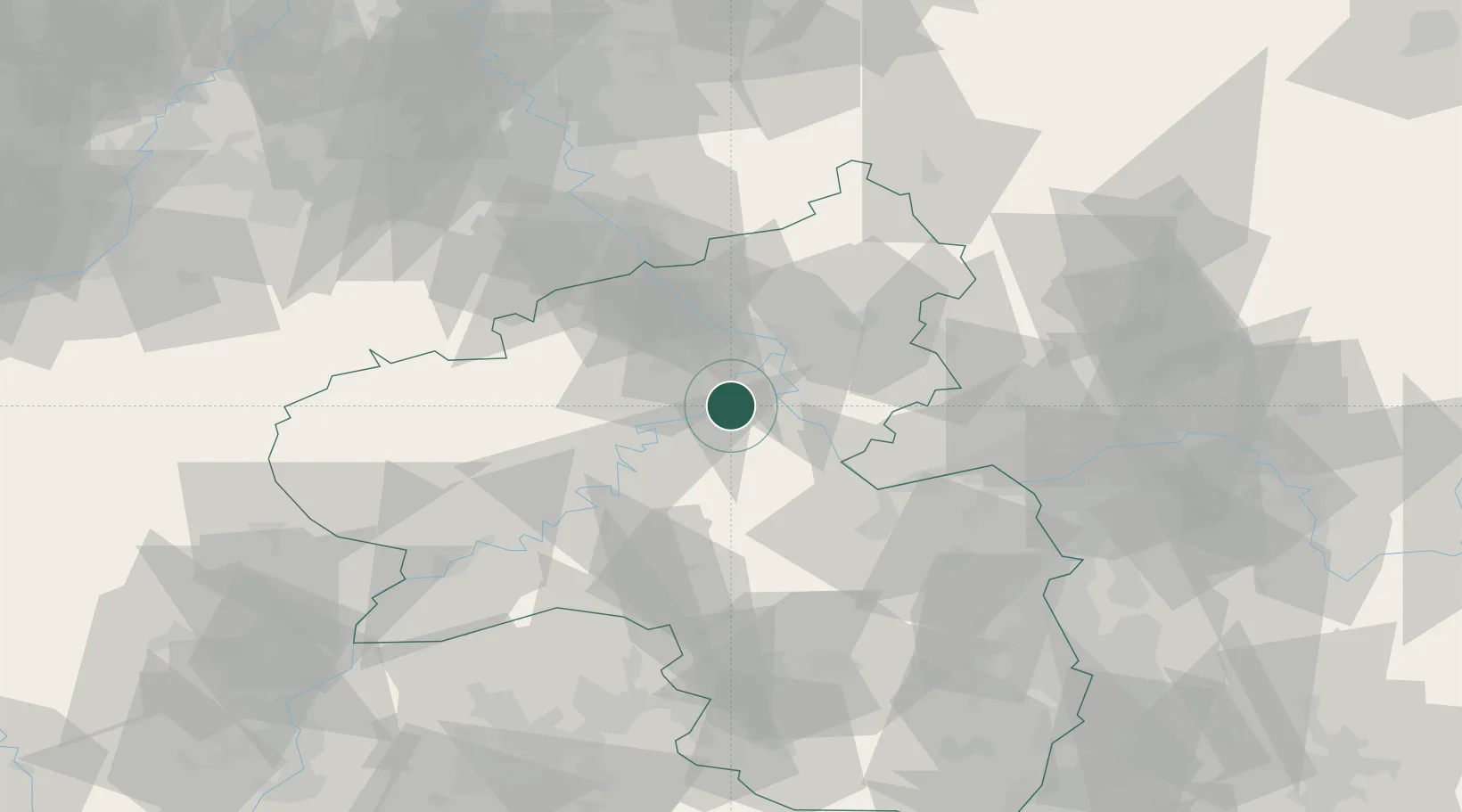
Place type
Local administrative seat
Region
Rheinland-Pfalz
Population
698
Time zone
Europe/Berlin
Elevation
199 m
Location
Nearby Logistics Neighbours
Cities
- 1Moselkern6 km
- 2Boppard11 km
- 3Treis-Karden11 km
- 4Winningen12 km
- 5Lahr13 km
Airports
- 1Büchel Air Base28 km
- 2Frankfurt-Hahn Airport33 km
- 3Mainz-Finthen Airfield57 km
- 4Spangdahlem Air Base60 km
- 5Wiesbaden Army Airfield65 km
Trade Zones
- 1Rheinische Revier SWZ108 km
- 2Luxembourg Free Port109 km
- 3ZFU La Cité Behren-lès-Forbach123 km
- 4Freeport of Duisburg150 km
- 5ZFU Woippy-Metz151 km
DatabookThe Record of Consolidated Knowledge
Germany beyond logistics?