Transport Functions
Port
Rail
Road
Hub Profile
Place type
Local administrative seat
Region
Rheinland-Pfalz
Population
2,332
Time zone
Europe/Berlin
Elevation
102 m
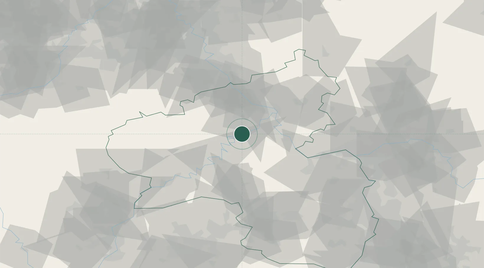
Location
Nearby Logistics Neighbours
Cities
- 1Moselkern5 km
- 2Forst (Eifel)5 km
- 3Lahr9 km
- 4Brodenbach11 km
- 5Kaisersesch12 km
Airports
- 1Büchel Air Base17 km
- 2Frankfurt-Hahn Airport27 km
- 3Spangdahlem Air Base49 km
- 4Mainz-Finthen Airfield65 km
- 5Wiesbaden Army Airfield75 km
Trade Zones
- 1Luxembourg Free Port98 km
- 2Rheinische Revier SWZ104 km
- 3ZFU La Cité Behren-lès-Forbach116 km
- 4ZFU Woippy-Metz142 km
- 5ZFU Metz145 km
DatabookThe Record of Consolidated Knowledge
Germany beyond logistics?