Transport Functions
Road
Multimodal
Hub Profile
Place type
Local administrative seat
Region
Rheinland-Pfalz
Population
181
Time zone
Europe/Berlin
Elevation
344 m
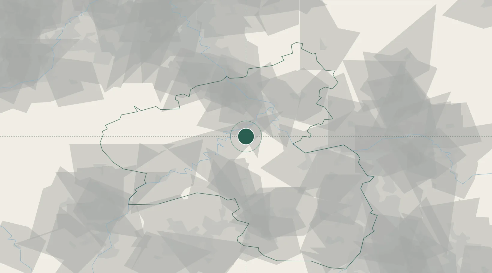
Location
Nearby Logistics Neighbours
Cities
- 1Mastershausen6 km
- 2Bell7 km
- 3Treis-Karden9 km
- 4Moselkern9 km
- 5Senheim13 km
Airports
- 1Frankfurt-Hahn Airport20 km
- 2Büchel Air Base23 km
- 3Spangdahlem Air Base50 km
- 4Mainz-Finthen Airfield58 km
- 5Wiesbaden Army Airfield69 km
Trade Zones
- 1Luxembourg Free Port98 km
- 2ZFU La Cité Behren-lès-Forbach110 km
- 3Rheinische Revier SWZ112 km
- 4ZFU Woippy-Metz139 km
- 5ZFU Metz142 km
DatabookThe Record of Consolidated Knowledge
Germany beyond logistics?