Transport Functions
Rail
Road
Hub Profile
Place type
Local administrative seat
Region
North Rhine-Westphalia
Population
8,797
Time zone
Europe/Berlin
Elevation
91 m
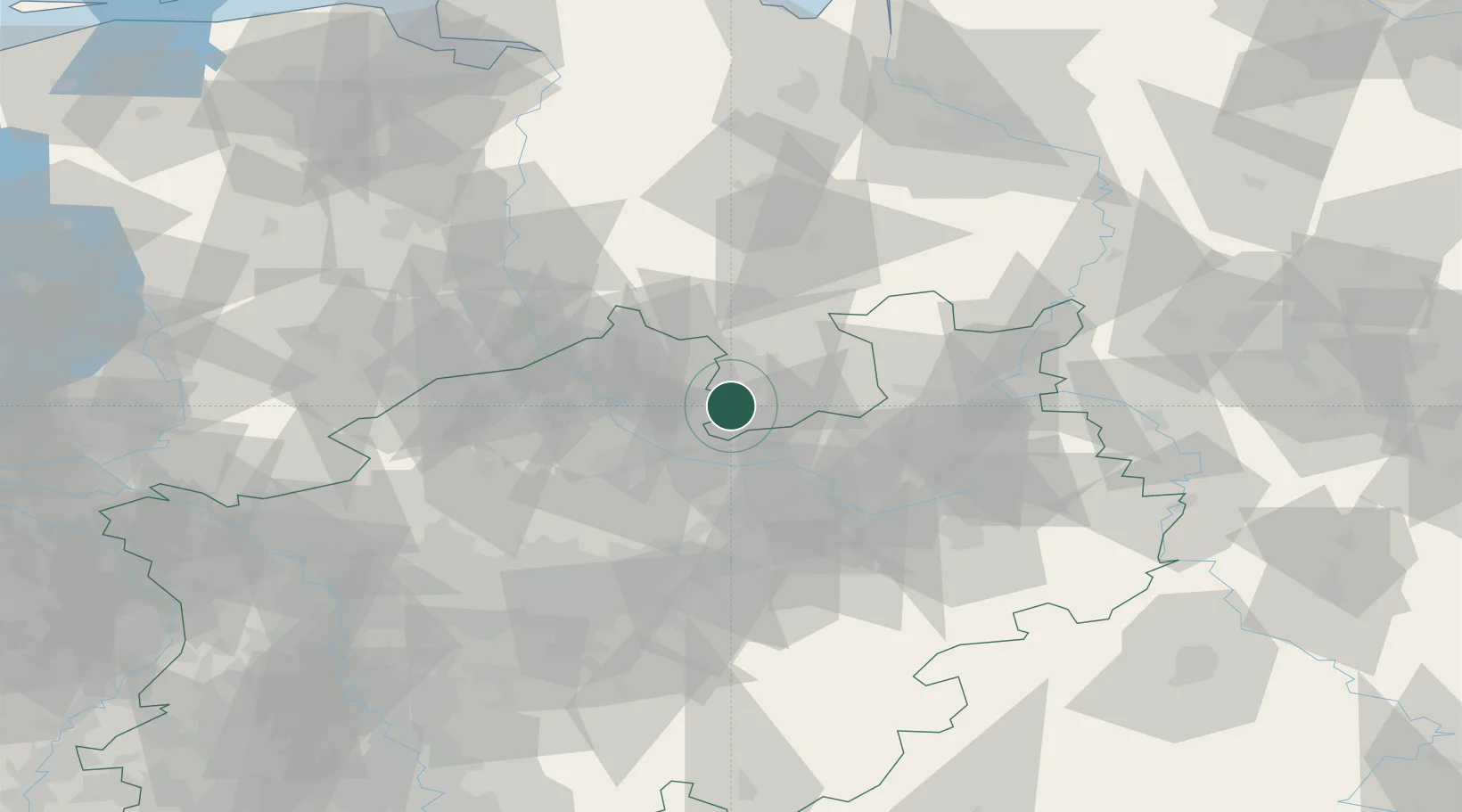
Location
Nearby Logistics Neighbours
Cities
- 1Bad Iburg5 km
- 2Hagen am Teutoburger Wald6 km
- 3Georgsmarienhütte7 km
- 4Hilter11 km
- 5Bissendorf16 km
Airports
- 1Münster Osnabrück Airport20 km
- 2Bielefeld Airport44 km
- 3Diepholz Air Base54 km
- 4Paderborn Lippstadt Airport74 km
- 5Dortmund Airport75 km
Trade Zones
DatabookThe Record of Consolidated Knowledge
Germany beyond logistics?