UN/LOCODE hub · Germany
DEHTW

Hagen am Teutoburger Wald

52.2000°, 7.9833°
1
Transport functions

Transport Functions

Multimodal
UN/LOCODE

Hub Profile

Region
NW
GeoNames

Location

Location of DEHTW
Natural Earth 10m (public domain) · NW · DEHTW · 52.20, 7.98GoogleOSMYandex

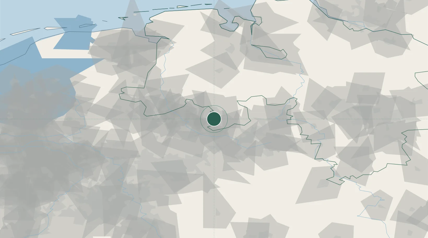
Nearby Logistics Neighbours

Cities
  1. 1Georgsmarienhütte5 km
  2. 2Lienen6 km
  3. 3Bad Iburg7 km
  4. 4Osnabrück11 km
  5. 5Hilter13 km
Nearest neighbours — logibook spatial index (haversine) over the source coordinates
Ports
  1. 1Oldenburg103 km
  2. 2Papenburg108 km
  3. 3Bremen117 km
  4. 4Elsfleth119 km
  5. 5Leer120 km
Nearest neighbours — logibook spatial index (haversine) over the source coordinates
Airports
  1. 1Münster Osnabrück Airport21 km
  2. 2Bielefeld Airport46 km
  3. 3Diepholz Air Base49 km
  4. 4Twente Airport75 km
  5. 5Bückeburg Air Base75 km
Nearest neighbours — logibook spatial index (haversine) over the source coordinates
Trade Zones
  1. 1Freeport of Bremerhaven (Freihafen Bremerhaven)113 km
  2. 2Freeport of Duisburg127 km
  3. 3Freeport of Emden137 km
  4. 4Rheinische Revier SWZ181 km
  5. 5Freeport of Cuxhaven (Freihafen Cuxhaven)185 km
Nearest neighbours — logibook spatial index (haversine) over the source coordinates
DatabookThe Record of Consolidated Knowledge
Germany beyond logistics?
Browse databook

All Sources

LocationsUN/LOCODE
UN/LOCODE — free
Portsthe NGA World Port Index
Public domain (US gov)
AirportsOurAirports
Public domain
Trade Zonesthe World Bank SEZ database
CC BY 4.0
Trade ZonesOpen Zone Map
CC BY
← Germany locations