Transport Functions
Port
Rail
Road
Airport
Hub Profile
Place type
Local administrative seat
Region
Hesse
Population
14,018
Time zone
Europe/Berlin
Elevation
139 m
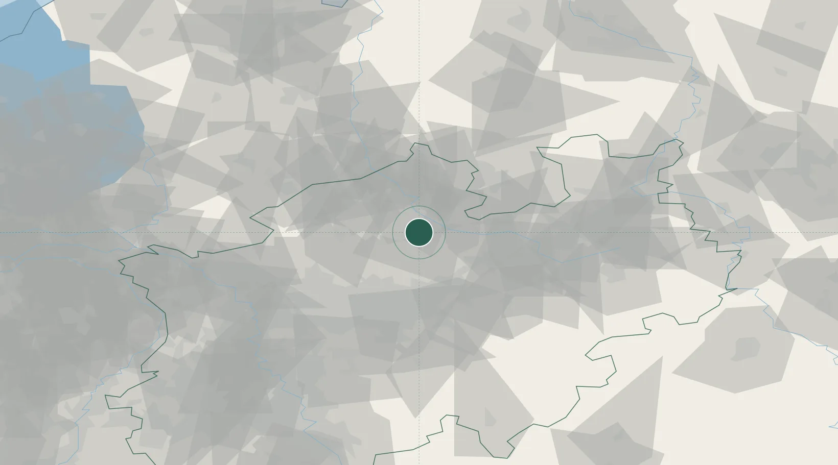
Location
Nearby Logistics Neighbours
Cities
- 1Hiltrup7 km
- 2Amelsbüren10 km
- 3Schmedehausen16 km
- 4Drensteinfurt20 km
- 5Hiddingsel22 km
Airports
- 1Münster Osnabrück Airport19 km
- 2Dortmund Airport50 km
- 3Twente Airport61 km
- 4Bielefeld Airport62 km
- 5Paderborn Lippstadt Airport78 km
Trade Zones
DatabookThe Record of Consolidated Knowledge
Germany beyond logistics?