Transport Functions
Rail
Road
Hub Profile
Place type
District seat
Region
Lower Saxony
Population
34,198
Time zone
Europe/Berlin
Elevation
15 m
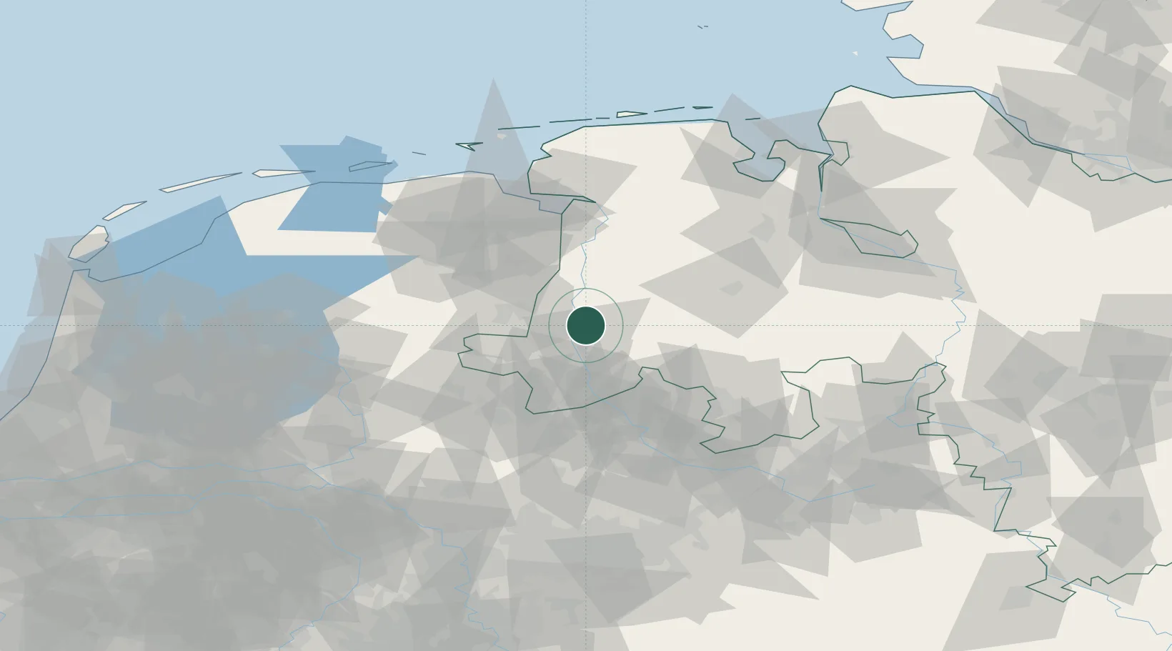
Location
Nearby Logistics Neighbours
Cities
- 1Geeste10 km
- 2Biene13 km
- 3Altenlingen15 km
- 4Langen (Emsland)18 km
- 5Lähden18 km
Airports
- 1Twente Airport54 km
- 2Münster Osnabrück Airport66 km
- 3Groningen Airport Eelde69 km
- 4Diepholz Air Base70 km
- 5Emden Airport79 km
Trade Zones
DatabookThe Record of Consolidated Knowledge
Germany beyond logistics?