Transport Functions
Port
Road
Hub Profile
Place type
Local administrative seat
Region
Lower Saxony
Population
11,281
Time zone
Europe/Berlin
Elevation
23 m
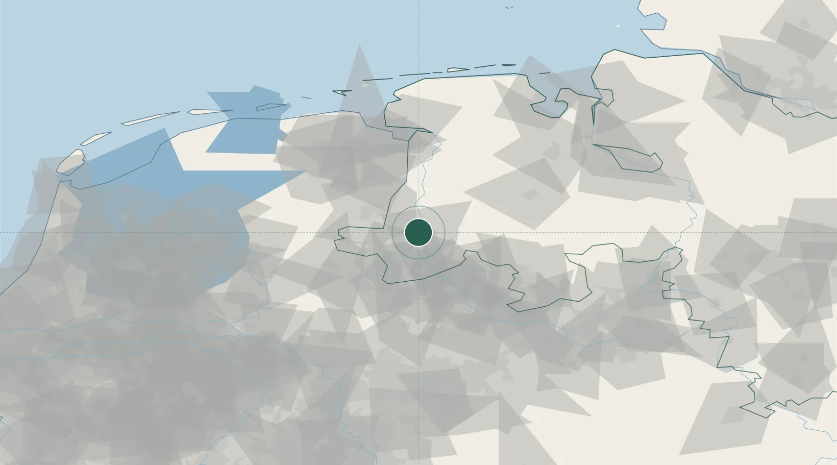
Location
Nearby Logistics Neighbours
Cities
- 1Biene4 km
- 2Altenlingen6 km
- 3Meppen10 km
- 4Langen (Emsland)15 km
- 5Lengerich18 km
Airports
- 1Twente Airport44 km
- 2Münster Osnabrück Airport59 km
- 3Diepholz Air Base73 km
- 4Groningen Airport Eelde74 km
- 5Emden Airport88 km
Trade Zones
DatabookThe Record of Consolidated Knowledge
Germany beyond logistics?