Transport Functions
Port
Road
Hub Profile
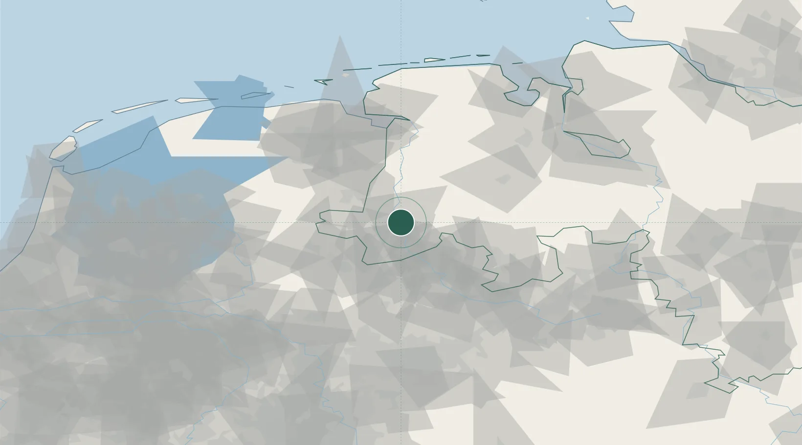
Place type
Populated place
Region
Lower Saxony
Time zone
Europe/Berlin
Elevation
23 m
Location
Nearby Logistics Neighbours
Cities
- 1Biene2 km
- 2Geeste6 km
- 3Langen (Emsland)11 km
- 4Messingen15 km
- 5Lengerich15 km
Airports
- 1Twente Airport41 km
- 2Münster Osnabrück Airport53 km
- 3Diepholz Air Base71 km
- 4Groningen Airport Eelde80 km
- 5Emden Airport94 km
Trade Zones
DatabookThe Record of Consolidated Knowledge
Germany beyond logistics?