Transport Functions
Multimodal
Hub Profile
Place type
Local administrative seat
Region
Rheinland-Pfalz
Population
4,620
Time zone
Europe/Berlin
Elevation
113 m
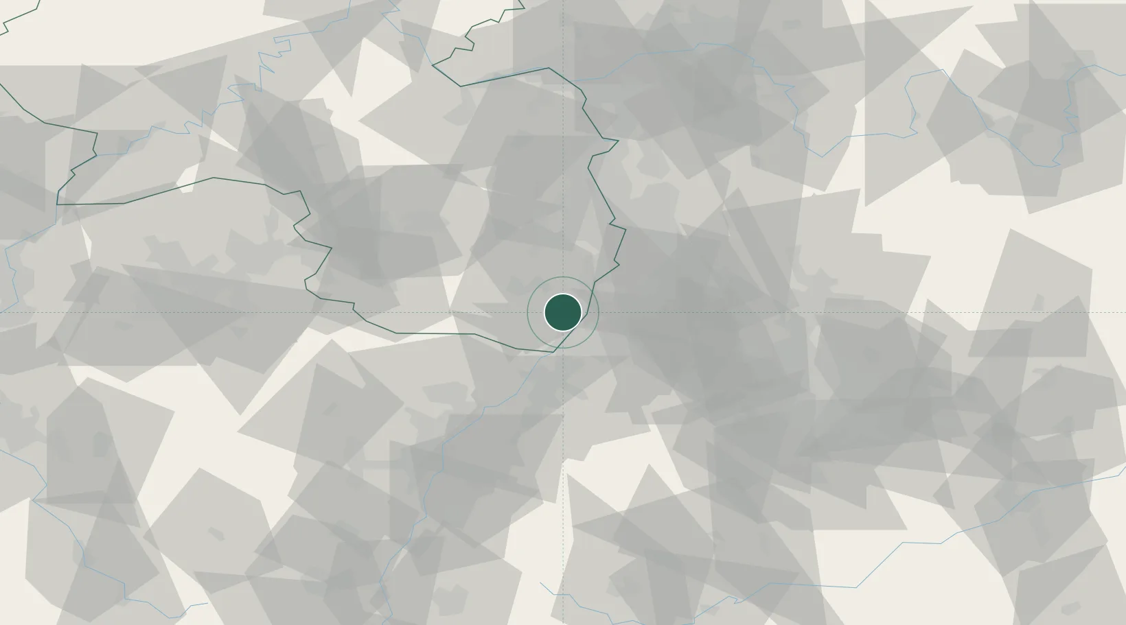
Location
Nearby Logistics Neighbours
Cities
- 1Hatzenbühl1 km
- 2Jockgrim4 km
- 3Rülzheim4 km
- 4Wörth am Rhein7 km
- 5Kandel7 km
Airports
- 1Karlsruhe Baden-Baden Airport40 km
- 2Mannheim-City Airport44 km
- 3Ramstein Air Base60 km
- 4Strasbourg Airport80 km
- 5Stuttgart Airport84 km
Trade Zones
- 1ZFU Hautepierre72 km
- 2ZFU Neuhof74 km
- 3ZFU La Cité Behren-lès-Forbach98 km
- 4ZFU Metz153 km
- 5ZFU Woippy-Metz154 km
DatabookThe Record of Consolidated Knowledge
Germany beyond logistics?