Transport Functions
Rail
Hub Profile
Region
RP
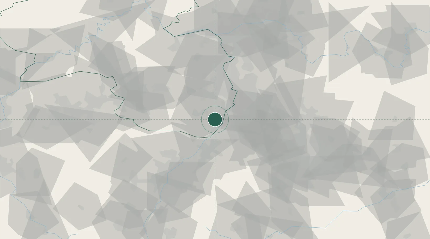
Location
Nearby Logistics Neighbours
Cities
- 1Rheinzabern4 km
- 2Hatzenbühl4 km
- 3Jockgrim8 km
- 4Offenbach an der Queich8 km
- 5Zeiskam8 km
Airports
- 1Mannheim-City Airport40 km
- 2Karlsruhe Baden-Baden Airport44 km
- 3Ramstein Air Base59 km
- 4Strasbourg Airport83 km
- 5Stuttgart Airport86 km
Trade Zones
- 1ZFU Hautepierre75 km
- 2ZFU Neuhof78 km
- 3ZFU La Cité Behren-lès-Forbach99 km
- 4ZFU Metz155 km
- 5ZFU Woippy-Metz155 km
DatabookThe Record of Consolidated Knowledge
Germany beyond logistics?