Transport Functions
Rail
Road
Hub Profile
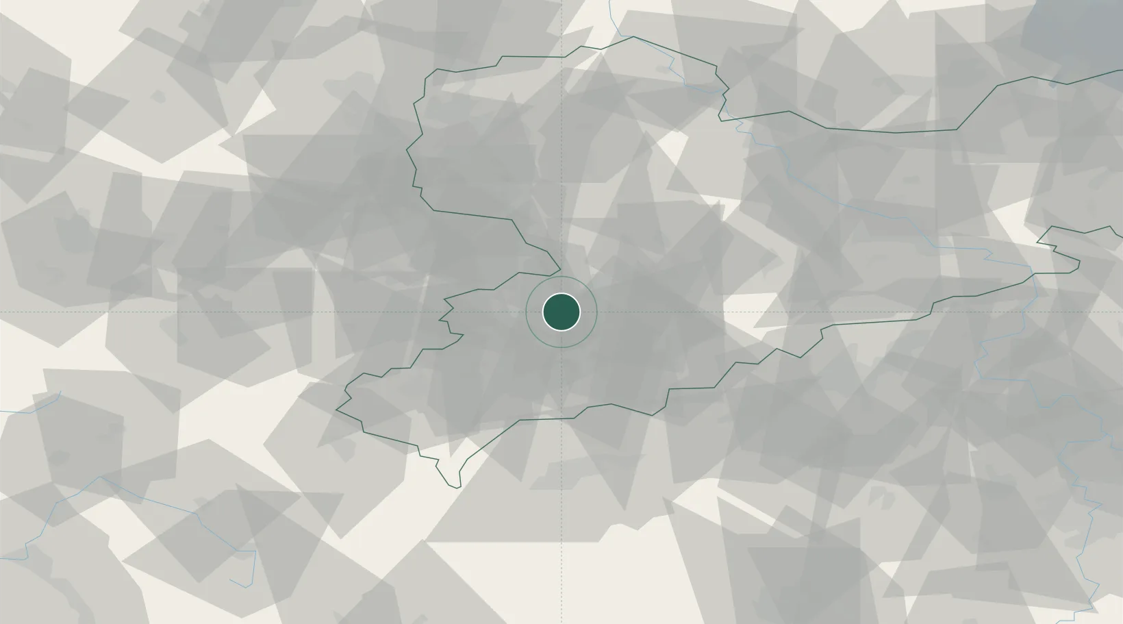
Place type
Populated place
Region
Saxony
Population
11,087
Time zone
Europe/Berlin
Elevation
308 m
Location
Nearby Logistics Neighbours
Cities
- 1Sankt Egidien5 km
- 2Mulsen6 km
- 3Oberlungwitz6 km
- 4Hohenstein-Ernstthal7 km
- 5Lugau (Erzgebirge)7 km
Ports
- 1Szczecin324 km
- 2Police339 km
- 3Wismar359 km
- 4Hamburg362 km
- 5Swinoujscie369 km
Airports
- 1Leipzig–Altenburg Airport28 km
- 2Karlovy Vary Airport64 km
- 3Hof-Plauen Airport76 km
- 4Leipzig/Halle Airport80 km
- 5Dresden Airport89 km
Trade Zones
DatabookThe Record of Consolidated Knowledge
Germany beyond logistics?