Transport Functions
Port
Multimodal
Hub Profile
Place type
Local administrative seat
Region
Saxony
Population
12,489
Time zone
Europe/Berlin
Elevation
318 m
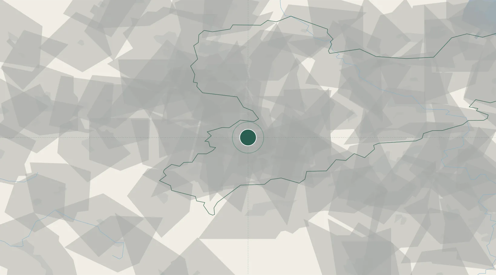
Location
Nearby Logistics Neighbours
Cities
- 1Sankt Egidien4 km
- 2Lichtenstein6 km
- 3Crossen (Zwickauer Land)6 km
- 4Glauchau9 km
- 5Lichtentanne11 km
Ports
- 1Szczecin326 km
- 2Police342 km
- 3Wismar358 km
- 4Hamburg359 km
- 5Swinoujscie371 km
Airports
- 1Leipzig–Altenburg Airport26 km
- 2Karlovy Vary Airport66 km
- 3Hof-Plauen Airport72 km
- 4Leipzig/Halle Airport78 km
- 5Dresden Airport94 km
Trade Zones
DatabookThe Record of Consolidated Knowledge
Germany beyond logistics?