Transport Functions
Rail
Road
Hub Profile
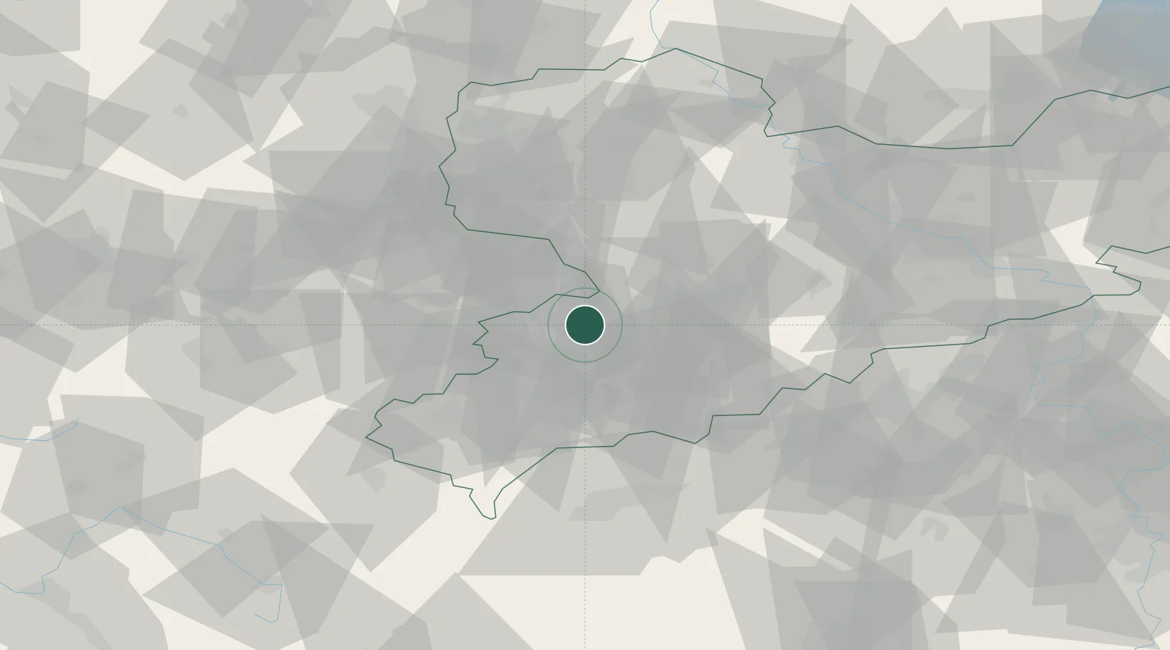
Place type
Populated place
Region
Saxony
Population
3,709
Time zone
Europe/Berlin
Elevation
269 m
Location
Nearby Logistics Neighbours
Cities
- 1Mulsen4 km
- 2Lichtenstein5 km
- 3Glauchau6 km
- 4Oberlungwitz8 km
- 5Hohenstein-Ernstthal8 km
Ports
- 1Szczecin322 km
- 2Police337 km
- 3Wismar355 km
- 4Hamburg357 km
- 5Swinoujscie366 km
Airports
- 1Leipzig–Altenburg Airport23 km
- 2Karlovy Vary Airport68 km
- 3Leipzig/Halle Airport75 km
- 4Hof-Plauen Airport76 km
- 5Dresden Airport91 km
Trade Zones
DatabookThe Record of Consolidated Knowledge
Germany beyond logistics?