Transport Functions
Multimodal
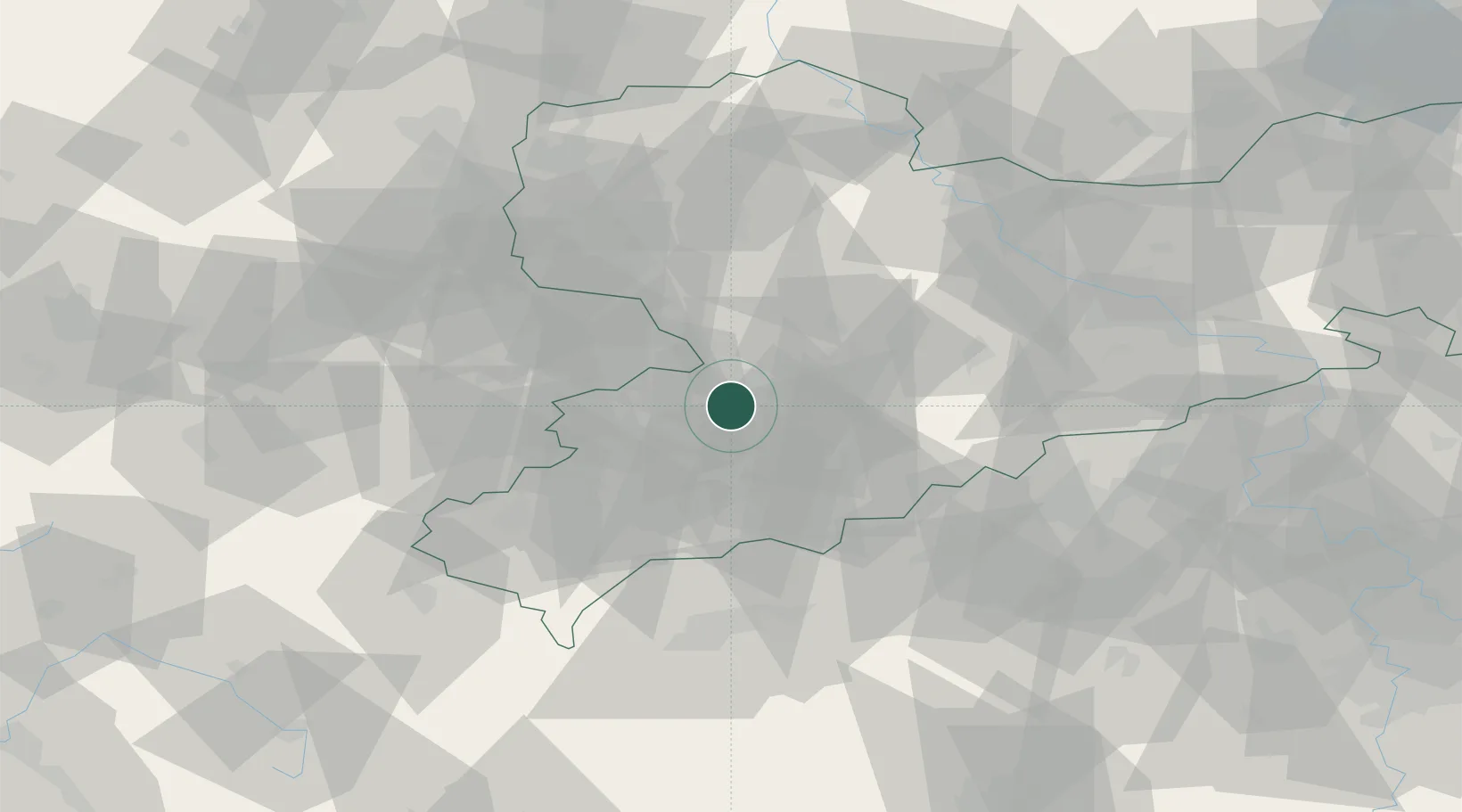
Hub Profile
Place type
Populated place
Region
Saxony
Population
6,794
Time zone
Europe/Berlin
Elevation
300 m
Location
Nearby Logistics Neighbours
Cities
- 1Hohenstein-Ernstthal2 km
- 2Mittelbach5 km
- 3Lichtenstein6 km
- 4Lugau (Erzgebirge)6 km
- 5Niederdorf7 km
Ports
- 1Szczecin318 km
- 2Police334 km
- 3Wismar357 km
- 4Hamburg361 km
- 5Swinoujscie364 km
Airports
- 1Leipzig–Altenburg Airport27 km
- 2Karlovy Vary Airport66 km
- 3Leipzig/Halle Airport79 km
- 4Hof-Plauen Airport82 km
- 5Dresden Airport83 km
Trade Zones
DatabookThe Record of Consolidated Knowledge
Germany beyond logistics?