UN/LOCODE hub · Germany
DEHOI

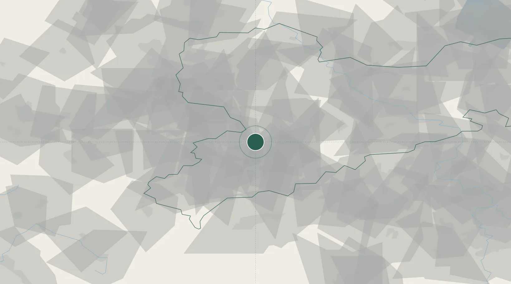
Hohenstein-Ernstthal

50.8000°, 12.7167°
16,542
Population
2
Transport functions

Transport Functions

Rail
Road
UN/LOCODE

Hub Profile

Place type
Populated place
GeoNames
Region
Saxony
GeoNames
Population
16,542
GeoNames
Time zone
Europe/Berlin
GeoNames
Elevation
361 m
GeoNames

Location

Location of DEHOI
Natural Earth 10m (public domain) · Saxony · DEHOI · 50.80, 12.72GoogleOSMYandex

Nearby Logistics Neighbours

Cities
  1. 1Oberlungwitz2 km
  2. 2Mittelbach5 km
  3. 3Lichtenstein7 km
  4. 4Lugau (Erzgebirge)8 km
  5. 5Sankt Egidien8 km
Nearest neighbours — logibook spatial index (haversine) over the source coordinates
Ports
  1. 1Szczecin317 km
  2. 2Police333 km
  3. 3Wismar355 km
  4. 4Hamburg360 km
  5. 5Swinoujscie362 km
Nearest neighbours — logibook spatial index (haversine) over the source coordinates
Airports
  1. 1Leipzig–Altenburg Airport25 km
  2. 2Karlovy Vary Airport68 km
  3. 3Leipzig/Halle Airport77 km
  4. 4Dresden Airport83 km
  5. 5Hof-Plauen Airport83 km
Nearest neighbours — logibook spatial index (haversine) over the source coordinates
Trade Zones
  1. 1Žatec - Triangle Strategic Industrial Zone73 km
  2. 2Most - Joseph Industrial Zone74 km
  3. 3Podbořany Industrial Zone80 km
  4. 4Kolín - Ovčáry Industrial Zone195 km
  5. 5Industrial Zone Kutna Hora206 km
Nearest neighbours — logibook spatial index (haversine) over the source coordinates
DatabookThe Record of Consolidated Knowledge
Germany beyond logistics?
Browse databook

All Sources

LocationsUN/LOCODE
UN/LOCODE — free
LocationsGeoNames
CC BY 4.0
Portsthe NGA World Port Index
Public domain (US gov)
AirportsOurAirports
Public domain
Trade Zonesthe World Bank SEZ database
CC BY 4.0
Trade ZonesOpen Zone Map
CC BY
← Germany locations