Transport Functions
Multimodal
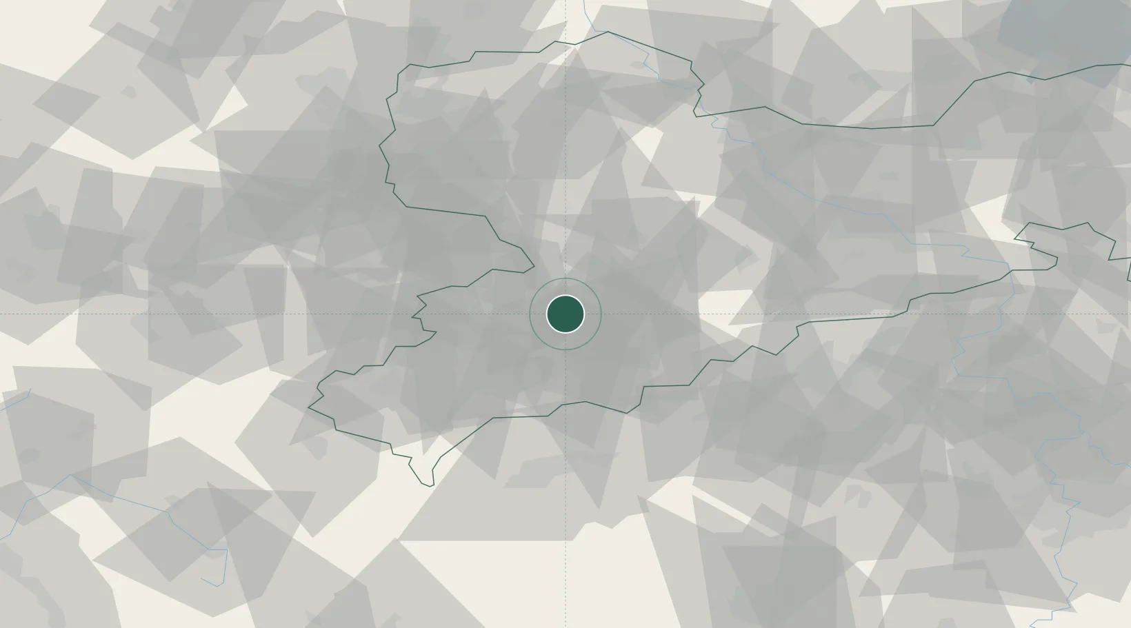
Hub Profile
Region
SN
Location
Nearby Logistics Neighbours
Cities
- 1Niederdorf2 km
- 2Oberlungwitz6 km
- 3Lichtenstein7 km
- 4Hohenstein-Ernstthal8 km
- 5Mittelbach8 km
Ports
- 1Szczecin323 km
- 2Police339 km
- 3Wismar363 km
- 4Hamburg367 km
- 5Swinoujscie369 km
Airports
- 1Leipzig–Altenburg Airport33 km
- 2Karlovy Vary Airport60 km
- 3Hof-Plauen Airport80 km
- 4Dresden Airport84 km
- 5Leipzig/Halle Airport85 km
Trade Zones
DatabookThe Record of Consolidated Knowledge
Germany beyond logistics?