Transport Functions
Multimodal
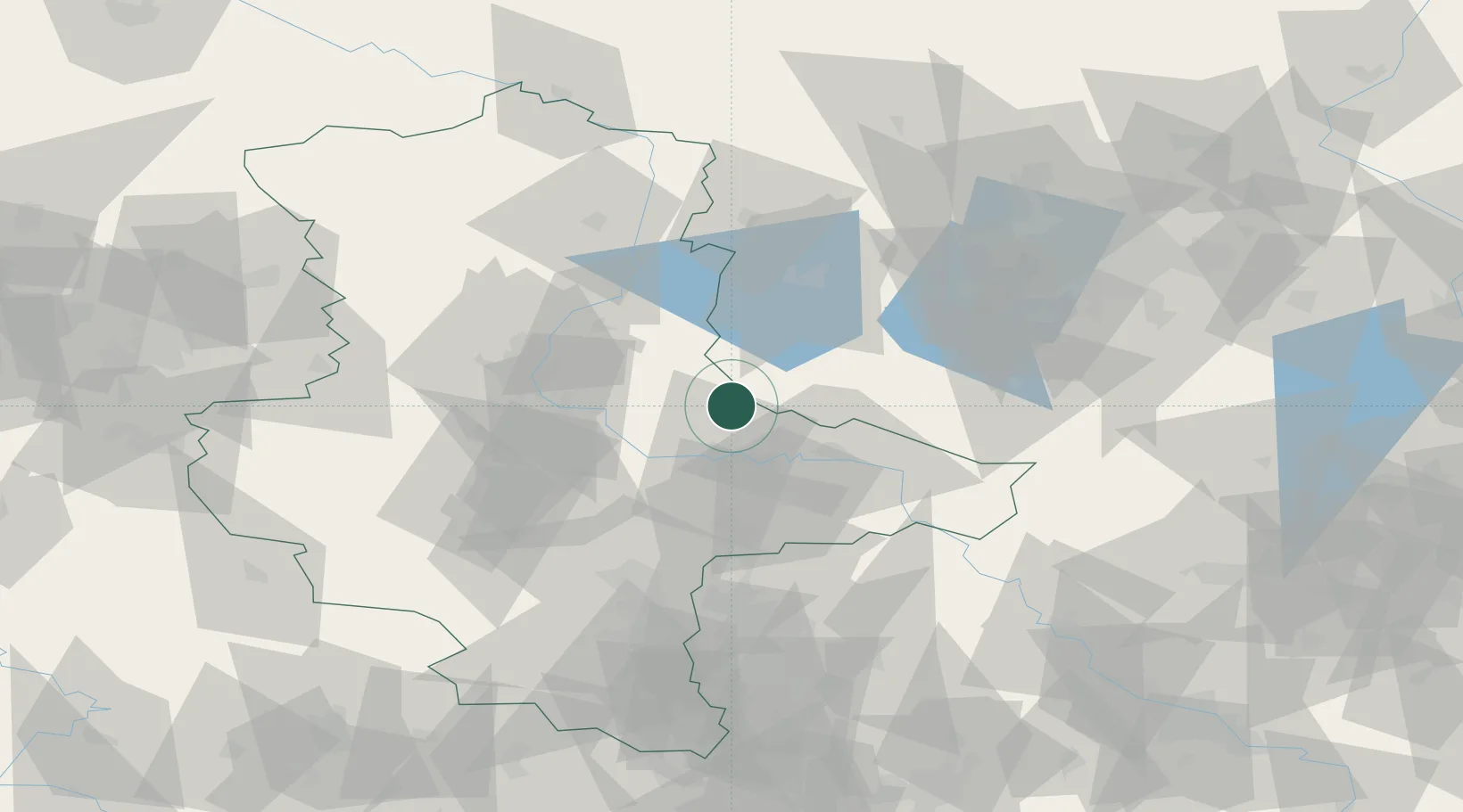
Hub Profile
Place type
Populated place
Region
Saxony-Anhalt
Population
163
Time zone
Europe/Berlin
Elevation
101 m
Location
Nearby Logistics Neighbours
Airports
- 1Zerbst Airfield10 km
- 2Holzdorf Air Base68 km
- 3Leipzig/Halle Airport68 km
- 4Berlin Brandenburg Airport91 km
- 5Leipzig–Altenburg Airport118 km
Trade Zones
- 1Kostrzyń-Słubice SEZ172 km
- 2Most - Joseph Industrial Zone196 km
- 3Žatec - Triangle Strategic Industrial Zone202 km
- 4Podbořany Industrial Zone215 km
- 5Szczecin Duty Free Zone218 km
DatabookThe Record of Consolidated Knowledge
Germany beyond logistics?