Transport Functions
Port
Road
Hub Profile
Place type
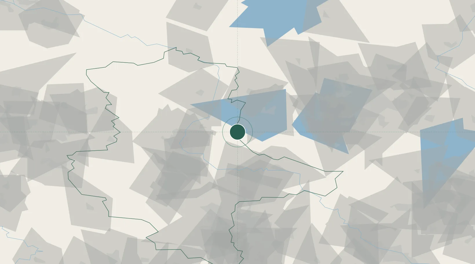
Populated place
Region
Saxony-Anhalt
Population
284
Time zone
Europe/Berlin
Elevation
64 m
Location
Nearby Logistics Neighbours
Ports
- 1Wismar192 km
- 2Szczecin205 km
- 3Rostock208 km
- 4Lubeck210 km
- 5Lubeck-Travemunde212 km
Airports
- 1Zerbst Airfield26 km
- 2Holzdorf Air Base83 km
- 3Berlin Brandenburg Airport89 km
- 4Leipzig/Halle Airport90 km
- 5Braunschweig-Wolfsburg Airport113 km
Trade Zones
- 1Kostrzyń-Słubice SEZ169 km
- 2Szczecin Duty Free Zone206 km
- 3Most - Joseph Industrial Zone218 km
- 4Žatec - Triangle Strategic Industrial Zone224 km
- 5Swinoujscie Duty Free Zone231 km
DatabookThe Record of Consolidated Knowledge
Germany beyond logistics?